Hilly Fields, Colchester
Map

Map

Facts and practical information
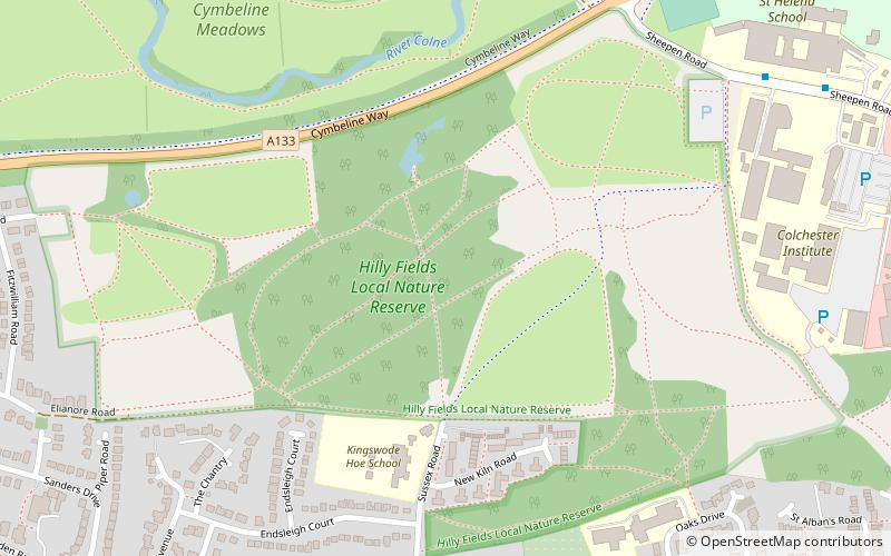
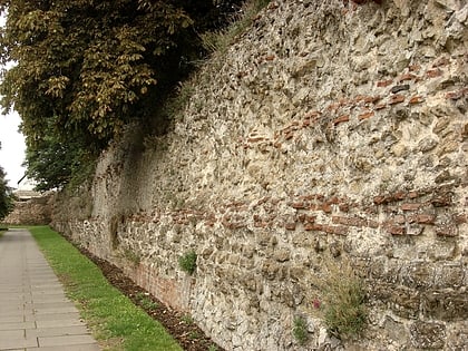
Hilly Fields is a 37.5 hectare Local Nature Reserve in Colchester, Essex. It is owned and managed by Colchester Borough Council. It is also a scheduled monument as it is in a late Iron Age site and Roman Camulodunum. ()
Elevation: 92 ft a.s.l.Coordinates: 51°53'33"N, 0°52'55"E
Address
Colchester
ContactAdd
Social media
Add
Day trips
Hilly Fields – popular in the area (distance from the attraction)
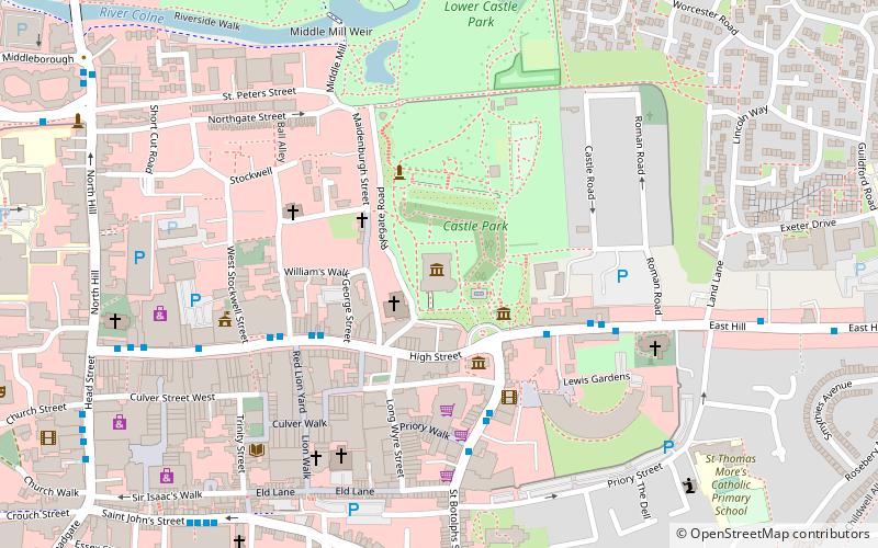
Nearby attractions include: Colchester Castle, Hollytrees Museum, Temple of Claudius, Colchester Town Hall.
Frequently Asked Questions (FAQ)
Which popular attractions are close to Hilly Fields?
Nearby attractions include Colchester Institute, Colchester (8 min walk), Balkerne Gate, Colchester (14 min walk), Camulodunum, Colchester (15 min walk), Colchester Sixth Form College, Colchester (15 min walk).
How to get to Hilly Fields by public transport?
The nearest stations to Hilly Fields:
Bus
Train
Bus
- The Avenue • Lines: 65, 70, 702, 71, 716, 71A, 71C, 71E, 71X, 756, 77, 81A, 82, 82B, 83, 83B, 84, 85, 88, 88A, 88B (9 min walk)
- Park Road • Lines: 65, 70, 702, 71, 716, 71A, 71C, 71E, 71X, 756, 77, 81A, 82, 82B, 83, 83B, 84, 85, 88, 88A, 88B (9 min walk)
Train
- Colchester (19 min walk)
- Colchester Town (28 min walk)


