St Saviour's Church, Eastbourne
Map
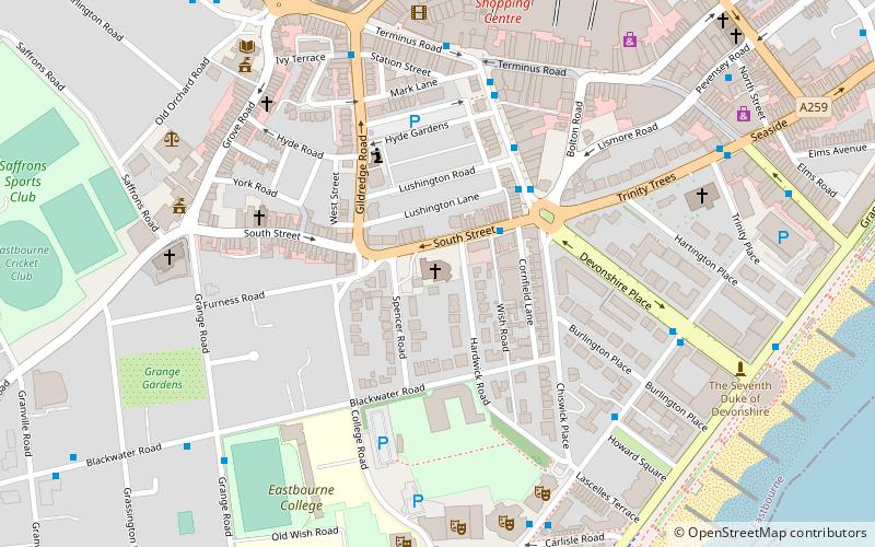
Map

Facts and practical information
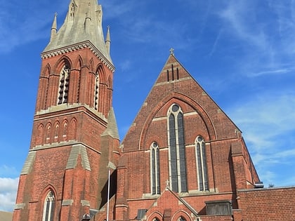
St Saviour's Church is a Church of England parish church in Eastbourne, East Sussex. The church is a grade II* listed building which was designed by G. E. Street. ()
Spire height: 176 ftCoordinates: 50°45'57"N, 0°16'59"E
Address
Eastbourne
ContactAdd
Social media
Add
Day trips
St Saviour's Church – popular in the area (distance from the attraction)
Nearby attractions include: Towner Gallery, Devonshire Park Lawn Tennis Club, Redoubt Fortress, Eastbourne Bandstand.
Frequently Asked Questions (FAQ)
Which popular attractions are close to St Saviour's Church?
Nearby attractions include South Street Free Church, Eastbourne (5 min walk), Towner Gallery, Eastbourne (6 min walk), Devonshire Park Theatre, Eastbourne (6 min walk), Eastbourne Theatres, Eastbourne (6 min walk).
How to get to St Saviour's Church by public transport?
The nearest stations to St Saviour's Church:
Bus
Train
Bus
- Memorial Roundabout • Lines: 12, 12A, 12X, 13X (2 min walk)
- War Memorial Roundabout • Lines: 1, 1A, 3 (3 min walk)
Train
- Eastbourne (7 min walk)
