Belmore Mountain
Map
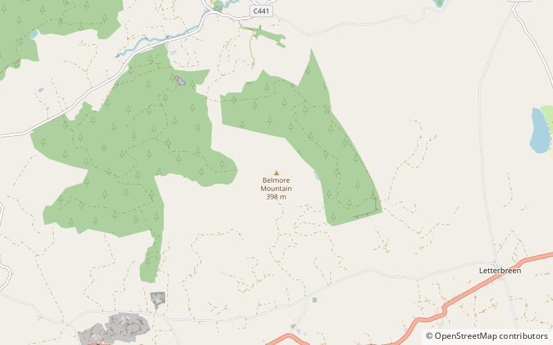
Map

Facts and practical information
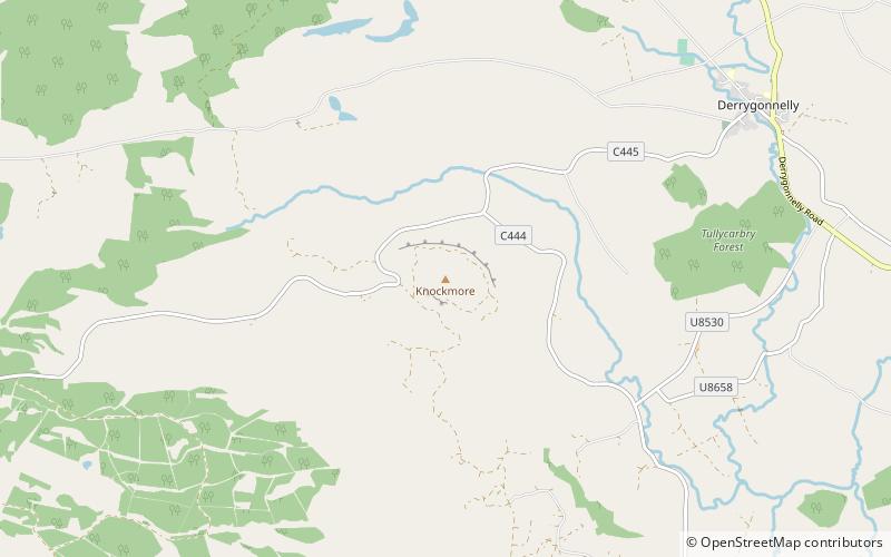
Belmore Mountain is a hill in the townland of Gortgall, western County Fermanagh, Northern Ireland. With a summit roughly 398 metres above sea level, it is the second highest point in Fermanagh, the highest being at Cuilcagh on the Northern Ireland–Republic of Ireland border in the south of the county. The historian John O Donovan states that the indigenous population called the mountain Bel Mor Muintir Pheodachain. ()
Elevation: 1306 ftProminence: 1056 ftCoordinates: 54°19'26"N, 7°47'19"W
Day trips
Belmore Mountain – popular in the area (distance from the attraction)
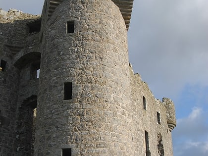
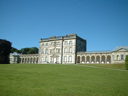
Nearby attractions include: Marble Arch Caves, Monea castle, Florence Court, Marble Arch Caves Global Geopark.


