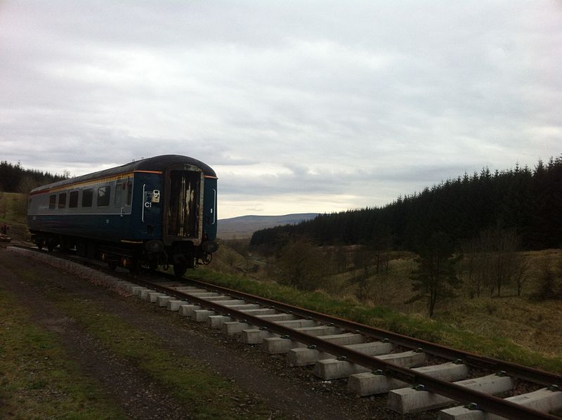
Whitrope Siding

Gallery (2)
Map
Map
Gallery
Facts and practical information
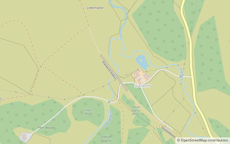
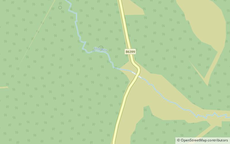
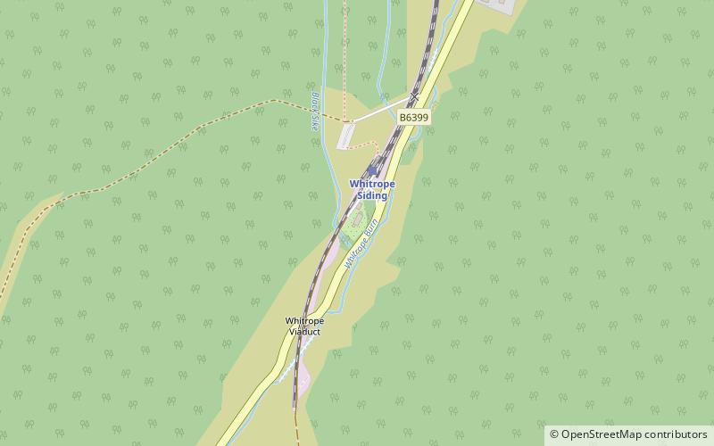
Whitrope Siding was a trailing short siding or spur off the "up" line, an associated trailing cross-over between up and down lines, a pair of railway cottages and a signal box on the Waverley Line or Waverley Route. It was used as a goods loading bay. The site is now the home of the Whitrope Heritage Centre, as well as the current terminus of the heritage Border Union Railway. ()
Coordinates: 55°17'35"N, 2°44'55"W
Location
Scotland
ContactAdd
Social media
Add
Day trips