Dyne Steel Incline, Blaenavon
Map
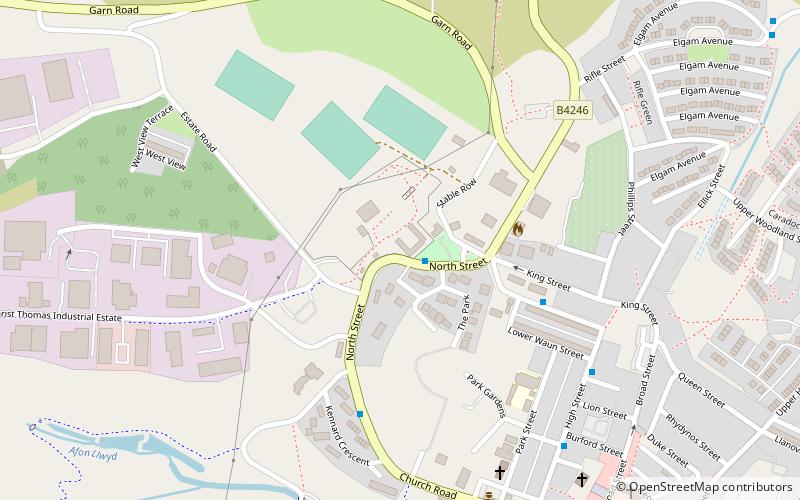
Map

Facts and practical information
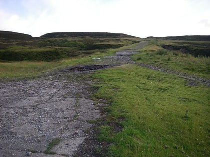
The Dyne Steel Incline was a steam-powered tramroad that carried tram loads of cast iron up and over the hill between the Blaenavon Ironworks and Pwll Du. From there the trams continued along Hill's Tramroad to the Garnddyrys Forge and on to the Llanfoist wharf. It operated from around 1850 to 1860. ()
Opened: 1850 (176 years ago)Coordinates: 51°46'35"N, 3°5'20"W
Address
Blaenavon
ContactAdd
Social media
Add
Day trips
Dyne Steel Incline – popular in the area (distance from the attraction)
Nearby attractions include: Big Pit National Coal Museum, Blaenavon Ironworks, Stack Square, Blaenavon Industrial Landscape.
Frequently Asked Questions (FAQ)
Which popular attractions are close to Dyne Steel Incline?
Nearby attractions include Stack Square, Blaenavon (1 min walk), Blaenavon Ironworks, Blaenavon (1 min walk), Blaenavon Industrial Landscape, Blaenavon (12 min walk), Big Pit National Coal Museum, Blaenavon (20 min walk).
