Pontefract Hospital, Pontefract
Map

Map

Facts and practical information
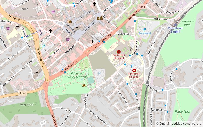
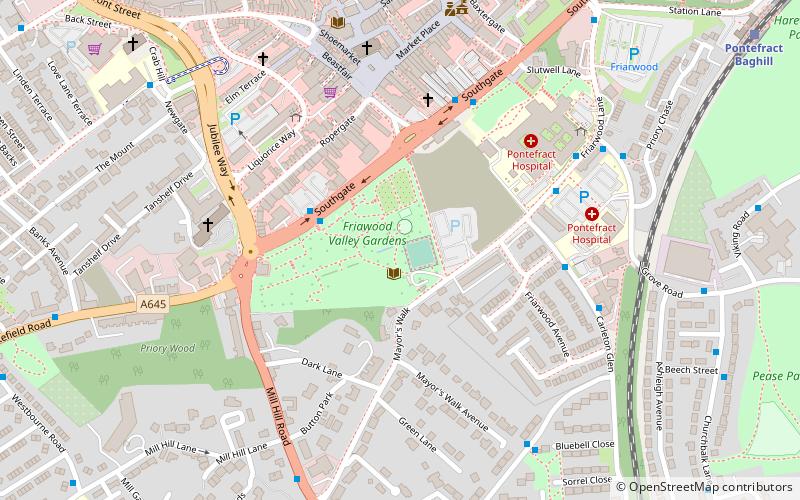
Pontefract Hermitage is a medieval hermitage situated below the old Southgate entrance to the General Infirmary in Pontefract, West Yorkshire, England. It is a grade I listed structure. ()
Coordinates: 53°41'23"N, 1°18'35"W
Address
Friarwood LanePontefract NorthPontefract
ContactAdd
Social media
Add
Day trips
Pontefract Hospital – popular in the area (distance from the attraction)
Nearby attractions include: Pontefract Castle, St Giles' Church, Pontefract Market Hall, Pontefract Town Hall.
Frequently Asked Questions (FAQ)
Which popular attractions are close to Pontefract Hospital?
Nearby attractions include Pontefract Friary, Pontefract (2 min walk), St Giles' Church, Pontefract (4 min walk), Pontefract Market Hall, Pontefract (4 min walk), Pontefract Town Hall, Pontefract (5 min walk).
How to get to Pontefract Hospital by public transport?
The nearest stations to Pontefract Hospital:
Bus
Train
Bus
- Pontefract Bus Station (6 min walk)
Train
- Pontefract Baghill (8 min walk)
- Pontefract Tanshelf (13 min walk)


