South Holland IDB, Holbeach
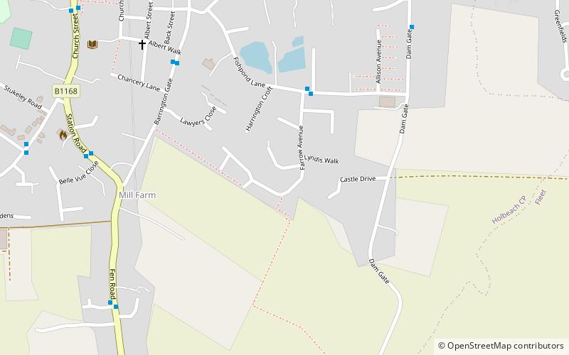
Map

Gallery

Facts and practical information
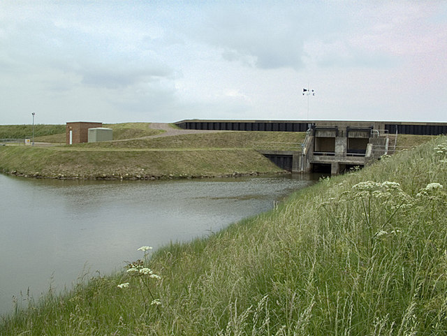
South Holland IDB is an English internal drainage board set up under the terms of the Land Drainage Act 1930. It has responsibility for the land drainage of 148.43 square miles of low-lying land in South Lincolnshire. It is unusual as its catchment area is the same as the area of the drainage district, and so it does not have to deal with water flowing into the area from surrounding higher ground. No major rivers flow through the area, although the district is bounded by the River Welland to the west and the River Nene to the east. ()
Coordinates: 52°47'60"N, 0°1'12"E
Address
Holbeach
ContactAdd
Social media
Add
Day trips
South Holland IDB – popular in the area (distance from the attraction)
Nearby attractions include: St Mary Magdalene Church, Moulton Windmill.


