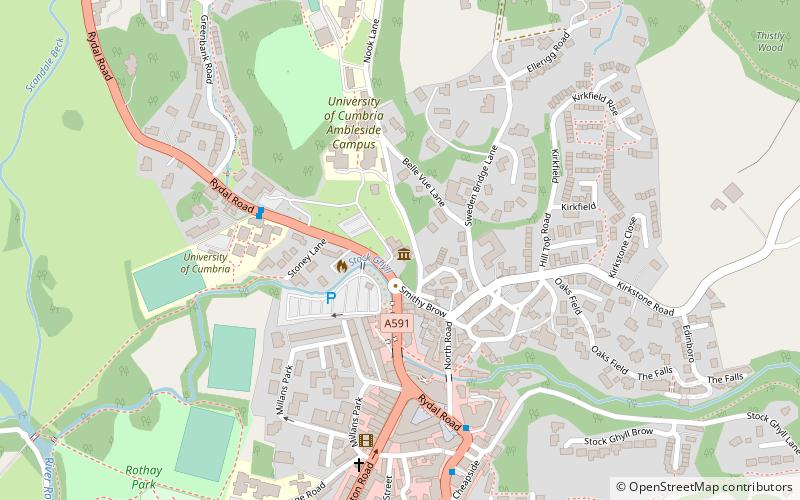
Rothay Manor, Ambleside
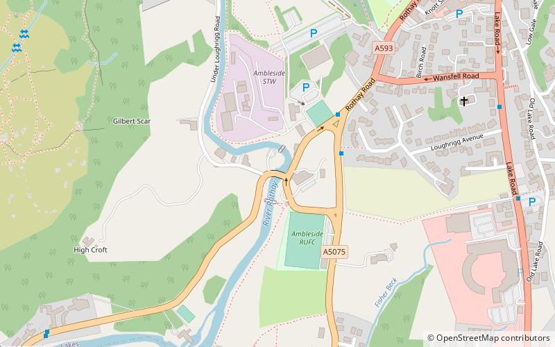
Map
Facts and practical information
Rothay Manor is a country house near Ambleside in Cumbria. It is a Grade II listed building. ()
Coordinates: 54°25'36"N, 2°58'9"W
Address
Ambleside
ContactAdd
Social media
Add
Getting there by public transportation
Public transportation stops near this location
- Bus
- Ferry
 Bus
Bus
- Calculate routeRiverside Lodge 3 min walk
- Calculate routeLoughrigg Avenue 8 min walk
- Calculate routeHayes Garden Centre 8 min walk
- Calculate routeKelsick Road Stand 2 9 min walk
- Calculate routeAmbleside Pier 1 14 min walk
Day trips


Frequently Asked Questions (FAQ)
Which popular attractions are close to Rothay Manor?
Nearby attractions include Galava, Ambleside (8 min walk), St Mary's Church, Ambleside (8 min walk), Armitt Library, Ambleside (15 min walk), Holy Trinity Church, Grasmere (19 min walk).
How to get to Rothay Manor by public transport?
The nearest stations to Rothay Manor:
Bus
Ferry
Bus
- Riverside Lodge • Lines: 516 (3 min walk)
- Loughrigg Avenue • Lines: 555 (8 min walk)
Ferry
- Ambleside Pier 1 • Lines: red (14 min walk)