St Pauls, Bristol
Map
Gallery
Facts and practical information
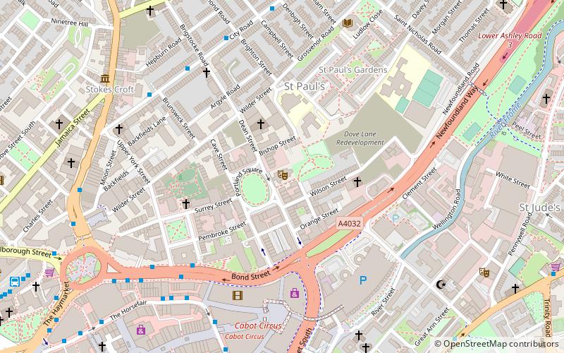
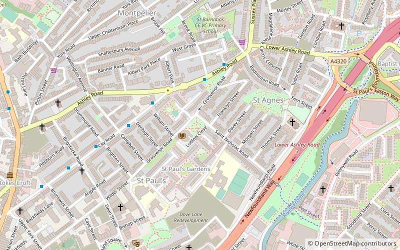
St Pauls is an inner suburb of Bristol, England, situated just northeast of the city centre and west of the M32. It is bounded by the A38, the B4051, the A4032 and the A4044, although the River Frome was traditionally the eastern boundary before the M32 was constructed. St Pauls was laid out in the early 18th century as one of Bristol's first suburbs. ()
Coordinates: 51°27'52"N, 2°34'55"W
Address
AshleyBristol
ContactAdd
Social media
Add
Day trips
St Pauls – popular in the area (distance from the attraction)
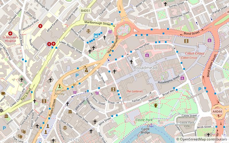
Nearby attractions include: Broadmead, Cabot Circus, Cube Microplex, New Room.
Frequently Asked Questions (FAQ)
Which popular attractions are close to St Pauls?
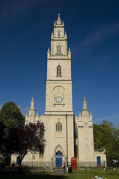
Nearby attractions include St Paul's Church, Bristol (6 min walk), Circomedia, Bristol (7 min walk), Portland Square, Bristol (7 min walk), City Road Baptist Church, Bristol (10 min walk).
How to get to St Pauls by public transport?
The nearest stations to St Pauls:
Train
Bus
Ferry
Train
- Montpelier (11 min walk)
- Stapleton Road (19 min walk)
Bus
- Cabot Circus • Lines: Falcon, m2, Y4 (12 min walk)
- Lamb Street • Lines: 43 (12 min walk)
Ferry
- City Centre • Lines: Hotwells-Centre (28 min walk)
- Prince Street Bridge • Lines: Hotwells-Centre (33 min walk)


