Dunagoil, Isle of Bute

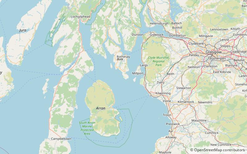
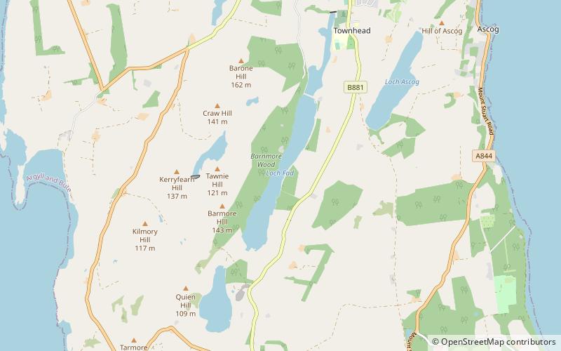
Map
Facts and practical information
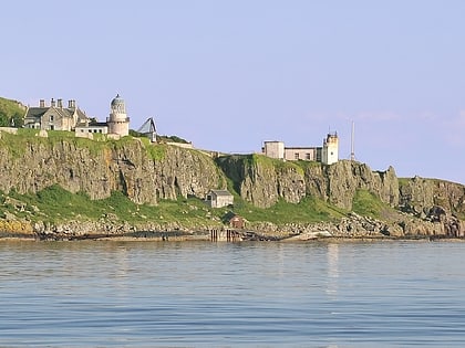
Dunagoil is a vitrified fort or dun on the Isle of Bute – an Iron Age hill fort whose ramparts have been melted by intense heat. It stands on a volcanic headland and gives its name to the bay that it overlooks. Like other places, such as Donegal, its name is from the Gaelic dún na gall – fort of the foreigners. ()
Coordinates: 55°44'3"N, 5°3'4"W
Address
Isle of Bute
ContactAdd
Social media
Add
Day trips
Dunagoil – popular in the area (distance from the attraction)
Nearby attractions include: Mount Stuart House, Little Cumbrae Castle, Cathedral of The Isles, Little Cumbrae.


