Dyfi Bridge, Machynlleth
Map

Gallery

Facts and practical information
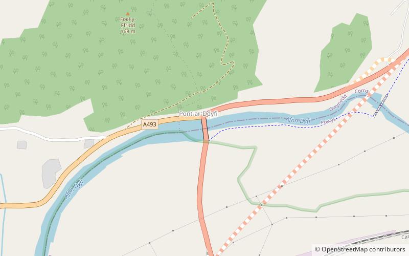
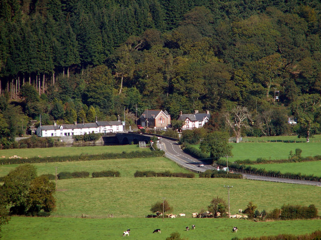
The Dyfi Bridge, also known as the Machynlleth Bridge, Dovey Bridge, Pont Dyfi or Pont ar Dyfi, is a road bridge carrying the A487 road across the River Dyfi north of Machynlleth, Powys, Wales. It is described as "one of the finest bridges in Montgomeryshire" by the Gwynedd Archaeological Trust. ()
Length: 210 ftWidth: 18 ftCoordinates: 52°36'2"N, 3°51'21"W
Address
Machynlleth
ContactAdd
Social media
Add
Day trips
Dyfi Bridge – popular in the area (distance from the attraction)
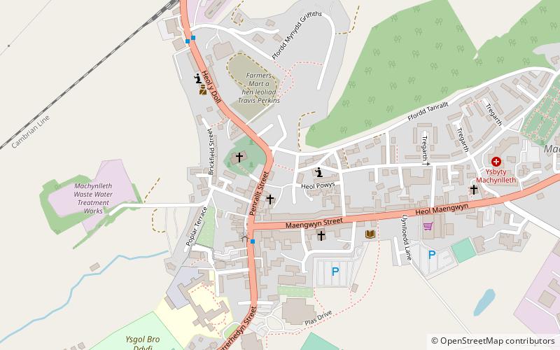
Nearby attractions include: MOMA, Owain Glyndŵr's Parliament House, Plas Machynlleth, The Tabernacle.
Frequently Asked Questions (FAQ)
Which popular attractions are close to Dyfi Bridge?
Nearby attractions include MOMA, Machynlleth (16 min walk), The Tabernacle, Machynlleth (17 min walk), Owain Glyndŵr's Parliament House, Machynlleth (20 min walk), Plas Machynlleth, Machynlleth (22 min walk).
How to get to Dyfi Bridge by public transport?
The nearest stations to Dyfi Bridge:
Train
Bus
Train
- Machynlleth (10 min walk)
Bus
- Machynlleth Station • Lines: T2, X28 (12 min walk)


