Frays Farm Meadows, London
Map

Gallery

Facts and practical information
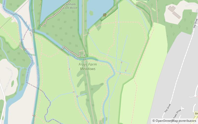
Frays Farm Meadows is a 28.2-hectare biological Site of Special Scientific Interest near Denham in the London Borough of Hillingdon. It was notified as an SSSI in 1981, and has been managed by the London Wildlife Trust on behalf of Hillingdon Council since 1999. It is part of the Colne Valley Regional Park. ()
Elevation: 115 ft a.s.l.Coordinates: 51°33'50"N, 0°28'35"W
Day trips
Frays Farm Meadows – popular in the area (distance from the attraction)
Nearby attractions include: intu Uxbridge, The Pavilions, Buckinghamshire Golf Club, Crown and Treaty.
Frequently Asked Questions (FAQ)
Which popular attractions are close to Frays Farm Meadows?
Nearby attractions include Denham Lock Wood, London (5 min walk), Denham Country Park, London (9 min walk), Uxbridge Alderglade, London (13 min walk).
How to get to Frays Farm Meadows by public transport?
The nearest stations to Frays Farm Meadows:
Bus
Metro
Train
Bus
- Warren Road • Lines: U1, U10, U9 (12 min walk)
- Roker Park Avenue • Lines: U1, U10, U9 (12 min walk)
Metro
- Hillingdon • Lines: Metropolitan, Piccadilly (34 min walk)
Train
- Denham (35 min walk)

 Tube
Tube


