Princes Gardens, Aldershot
Map

Gallery

Facts and practical information
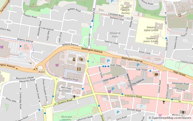
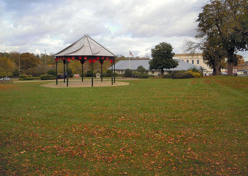
The Princes Gardens is an urban park in the town of Aldershot in Hampshire. A short walk from the town centre on a site bordered by the town's High Street, Wellington Avenue and Princes Way and opposite the Princes Hall theatre, it has been a public park since 1930. Today the park is managed by Rushmoor Borough Council. ()
Elevation: 322 ft a.s.l.Coordinates: 51°15'1"N, 0°46'1"W
Address
Aldershot (Wellington)Aldershot
ContactAdd
Social media
Add
Day trips
Princes Gardens – popular in the area (distance from the attraction)
Nearby attractions include: Aldershot Military Cemetery, Aldershot Lido, Church of St Michael the Archangel, Manor Park.
Frequently Asked Questions (FAQ)
Which popular attractions are close to Princes Gardens?
Nearby attractions include Princes Hall, Aldershot (2 min walk), Wesleyan Church, Aldershot (4 min walk), St Joseph's Church, Aldershot (5 min walk), West End Centre, Aldershot (6 min walk).
How to get to Princes Gardens by public transport?
The nearest stations to Princes Gardens:
Bus
Train
Bus
- Victoria Road Court House • Lines: 520, Kite (9 min walk)
- Aldershot Football Ground • Lines: 520, Kite (12 min walk)
Train
- Aldershot (11 min walk)


