Heale's Lock
Map

Map

Facts and practical information
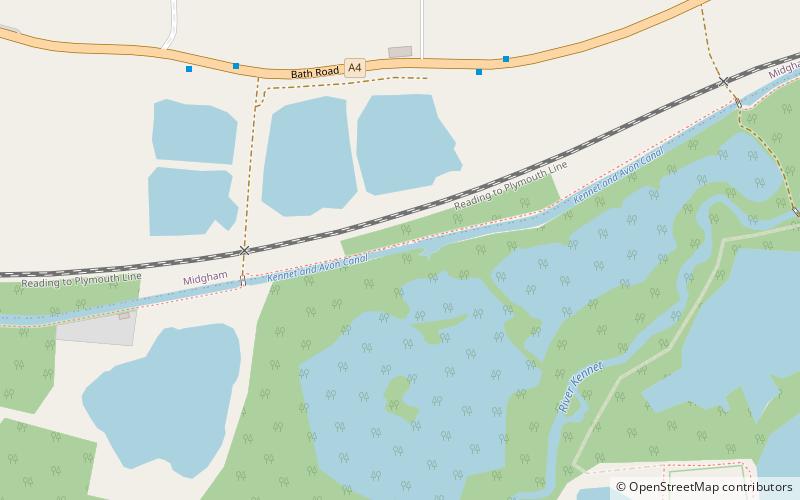
Heale's Lock is a lock on the Kennet and Avon Canal, between Thatcham and Woolhampton, Berkshire, England. ()
Coordinates: 51°23'36"N, 1°11'38"W
Location
England
ContactAdd
Social media
Add
Day trips
Heale's Lock – popular in the area (distance from the attraction)
Nearby attractions include: Douai Abbey, Woolhampton Lock, Midgham Lock, Woolhampton Reed Bed.


