Ouse Bridge, Howden
Map

Gallery

Facts and practical information
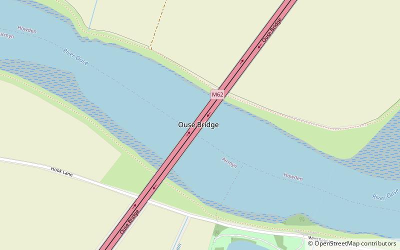
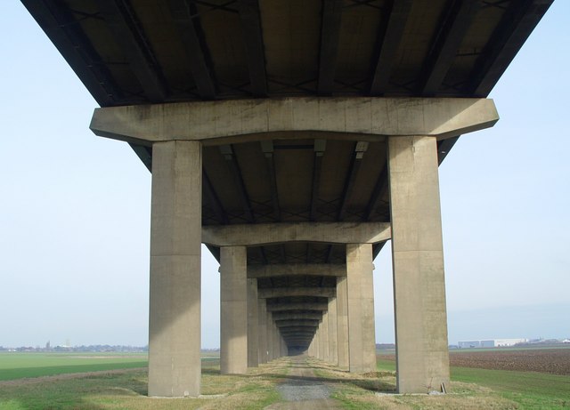
The Ouse Bridge is a reinforced concrete plate girder bridge that spans River Ouse between Goole and Howden in the East Riding of Yorkshire. It carries the M62 and is situated between junctions 36 and 37. It was built between 1973 and 1976 by Costain and was designed by Scott Wilson Kirkpatrick & Partners. The bridge was officially opened to traffic on 24 May 1976 by Martin Brigham ()
Completed: 1976 (50 years ago)Length: 5249 ftHeight: 98 ftCoordinates: 53°43'30"N, 0°52'43"W
Day trips
Ouse Bridge – popular in the area (distance from the attraction)
Nearby attractions include: St John's Church, Howden Minster, Yorkshire Waterways Museum, Wressle Castle.


