Beinn a' Bhathaich Àrd
Map

Map

Facts and practical information
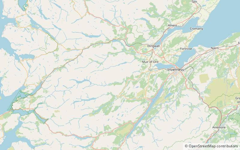
Beinn a' Bhathaich Àrd is mountain on the northern side of Glen Strathfarrar, in the Highlands of Scotland. It is situated at the eastern end of the glen, 5 km north-west of the village of Struy, and 16 km west of Beauly. Though not the highest hill in Strathfarrar, its position at the end of the glen makes it visible for some distance around. It is a prominent landmark from much of The Aird, Inverness and the Kessock Bridge. ()
Elevation: 2828 ftProminence: 791 ftCoordinates: 57°27'7"N, 4°44'2"W
Location
Scotland
ContactAdd
Social media
Add
Day trips
Beinn a' Bhathaich Àrd – popular in the area (distance from the attraction)
Nearby attractions include: Erchless Castle, Càrn nan Gobhar, Sgorr na Dìollaid, Glen Strathfarrar.


