English Riviera Geopark, Paignton
Map

Gallery

Facts and practical information
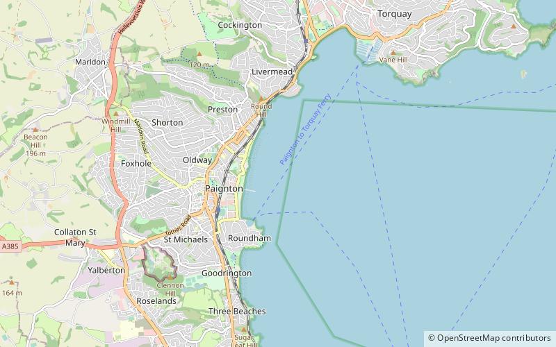
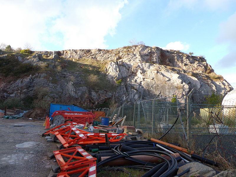
The English Riviera Geopark in Torbay is one of eight Geoparks in the United Kingdom, and one of over one hundred and forty worldwide. It is one of only two urban Geoparks in the UK, and was declared a Geopark on 16 September 2007. The Geopark covers 6,200 hectares of land and 4,100 hectares of sea bed. ()
Coordinates: 50°26'24"N, 3°33'0"W
Day trips
English Riviera Geopark – popular in the area (distance from the attraction)
Nearby attractions include: Splashdown Quaywest, Kirkham House, Paignton Beach, Living Coasts.
Frequently Asked Questions (FAQ)
Which popular attractions are close to English Riviera Geopark?
Nearby attractions include Paignton Beach, Paignton (9 min walk), Paignton Pier, Paignton (10 min walk), Oldway Mansion, Paignton (14 min walk), Knights Gallery, Paignton (19 min walk).
How to get to English Riviera Geopark by public transport?
The nearest stations to English Riviera Geopark:
Train
Bus
Train
- Paignton (20 min walk)
- Paignton Queens Park (20 min walk)
Bus
- Paignton Depot (21 min walk)


