Loughermore

Map
Facts and practical information
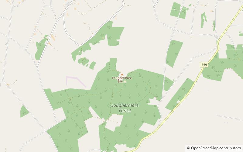
Loughermore is a mountain in County Londonderry, Northern Ireland. It is the 847th highest mountain in Ireland and lies in a large uplands area known as the Loughermore Hills, which is bounded to the west and south by the Rivers Faughan and Foreglen and to the east, by the River Roe. ()
Elevation: 1299 ftProminence: 886 ftCoordinates: 54°59'5"N, 7°4'51"W
Location
Northern Ireland
ContactAdd
Social media
Add
Day trips
Loughermore – popular in the area (distance from the attraction)
Nearby attractions include: Roe Valley Junior Triathlon, John Hunter Grounds, Woodvale Road.


