Greyfriars Community Centre, Ringwood

Gallery (1)
Map
Map
Facts and practical information
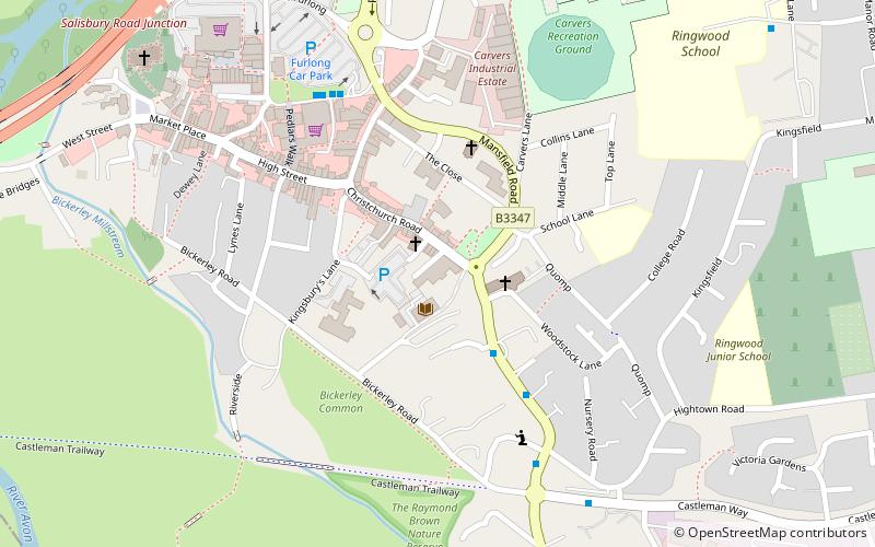
Greyfriars Community Centre is a place located in Ringwood (England kingdom) and belongs to the category of sightseeing.
It is situated at an altitude of 56 feet, and its geographical coordinates are 50°50'42"N latitude and 1°47'22"W longitude.
Among other places and attractions worth visiting in the area are: Castleman Trailway (hiking, 10 min walk), Liberty's Owl (national park, 25 min walk), Blashford Lakes (park, 53 min walk).
Coordinates: 50°50'42"N, 1°47'22"W
Day trips