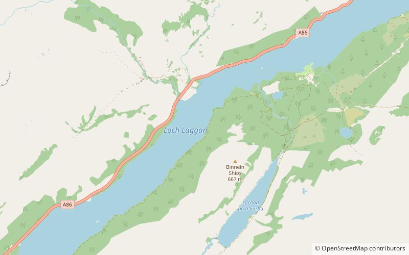
Loch Laggan
Map

Map

Facts and practical information
Loch Laggan is a freshwater loch situated approximately 6+1⁄2 mi west of Dalwhinnie in the Scottish Highlands. The loch has an irregular shape, runs nearly northeast to southwest and is approximately 7 mi in length. It has an average depth of 68 ft and is 174 ft at its deepest. The eastern end of the loch features the largest freshwater beach in Britain. Since 1934 Loch Laggan has been part of the Lochaber hydro-electric scheme. At the northeast end of the loch is the hamlet of Kinloch Laggan. ()
Alternative names: Length: 7 miWidth: 3485 ftMaximum depth: 174 ftElevation: 833 ft a.s.l.Coordinates: 56°56'39"N, 4°29'23"W
Location
Scotland
ContactAdd
Social media
Add
Day trips
Loch Laggan – popular in the area (distance from the attraction)
Nearby attractions include: Creag Meagaidh, Falls of Pattack, Ardverikie House.


