Bury Castle, Exmoor National Park
Map

Map

Facts and practical information
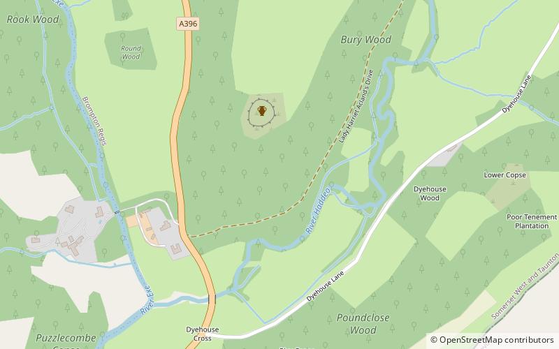
Bury Castle near Brompton Regis in the English county of Somerset was an Iron Age univallate hillfort which was reused with the creation of a motte after the Norman Conquest. It has been scheduled as an ancient monument. ()
Coordinates: 51°1'52"N, 3°30'53"W
Address
Exmoor National Park
ContactAdd
Social media
Add
Day trips
Bury Castle – popular in the area (distance from the attraction)
Nearby attractions include: Tarr Steps, Church of All Saints, All Saints' Church, Caratacus Stone.
Frequently Asked Questions (FAQ)
Which popular attractions are close to Bury Castle?
Nearby attractions include Bury Bridge, Exmoor National Park (14 min walk), Pixton Park, Exmoor National Park (20 min walk).


