Mòruisg

Gallery (1)
Map
Map
Facts and practical information
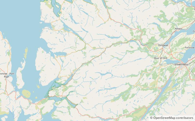
Mòruisg is a Scottish mountain situated in the Glencarron and Glenuig Forest, 10 kilometres south west of the village of Achnasheen in the Highland council area. ()
Elevation: 3045 ftProminence: 1949 ftCoordinates: 57°30'8"N, 5°10'9"W
Location
Scotland
ContactAdd
Social media
Add
Day trips


