Clarendon Way, Winchester
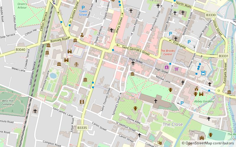
Map
Facts and practical information
The Clarendon Way is a recreational footpath in Hampshire and Wiltshire, England. It starts beside the waters of the River Itchen in the centre of Winchester and ends near the River Avon at Salisbury Cathedral. The path passes through the Clarendon Estate and close to the 12th century ruins of Clarendon Palace. The path also passes through Farley Mount Country Park and the villages of Pitton, The Winterslows, Broughton and King's Somborne. The path shares part of its route with the Monarch's Way long-distance footpath. ()
Length: 26 miCoordinates: 51°3'43"N, 1°18'58"W
Address
Winchester
ContactAdd
Social media
Add
Getting there by public transportation
Public transportation stops near this location
- Bus
- Train
 Bus
Bus
- Calculate routeJewry Street 2 min walk
- Calculate routeSt. Thomas Church 3 min walk
- Calculate routeWinchester Bus Station -A 7 min walk
- Calculate routeWinchester 11 min walk
Day trips


Frequently Asked Questions (FAQ)
Which popular attractions are close to Clarendon Way?
Nearby attractions include City of Winchester, Winchester (2 min walk), St Lawrence Church, Winchester (2 min walk), Venta Belgarum, Winchester (3 min walk), Old Minster, Winchester (3 min walk).
How to get to Clarendon Way by public transport?
The nearest stations to Clarendon Way:
Bus
Train
Bus
- Jewry Street • Lines: 1 (2 min walk)
- St. Thomas Church • Lines: 1 (3 min walk)
Train
- Winchester (11 min walk)