Wilberforce Way, Kingston upon Hull
Map
Gallery
Facts and practical information
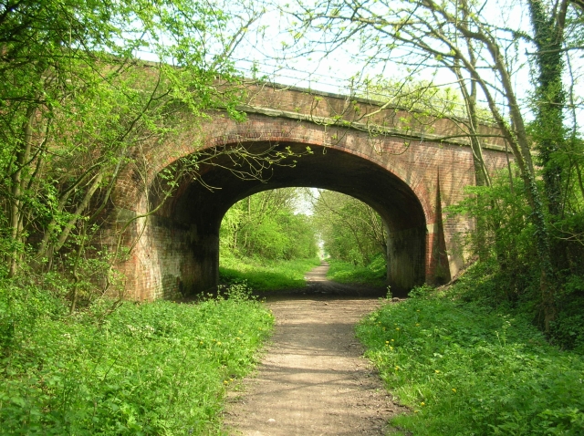
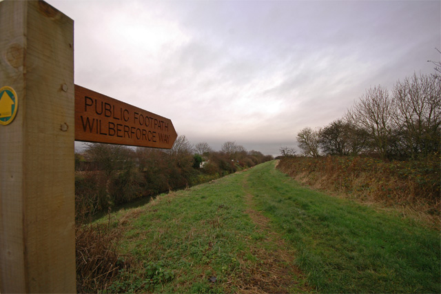
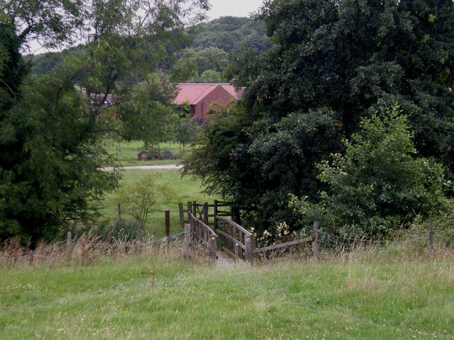
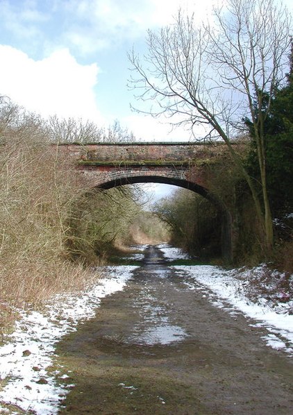
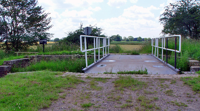
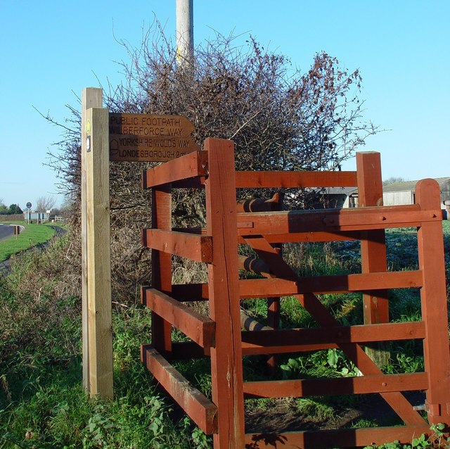
The Wilberforce Way is a 60-mile walking route between Hull in the East Riding of Yorkshire and York. The walk has been devised so that it can be walked in its entirety or as thirteen smaller walks. It has been described as having sufficient places of worship on the route for it to be used as a walk of pilgrimage. ()
Length: 60 miMaximum elevation: 433 ftMinimal elevation: 30 ftCoordinates: 53°44'19"N, 0°19'50"W
Address
Riverside (Drypool)Kingston upon Hull
ContactAdd
Social media
Add
Day trips
Wilberforce Way – popular in the area (distance from the attraction)
Nearby attractions include: Hull and East Riding Museum, Streetlife Museum of Transport, The Deep Aquarium, Princes Quay.
Frequently Asked Questions (FAQ)
Which popular attractions are close to Wilberforce Way?
Nearby attractions include The Deep Aquarium, Kingston upon Hull (1 min walk), Port of Hull, Kingston upon Hull (3 min walk), River Hull tidal surge barrier, Kingston upon Hull (3 min walk), Icefish, Kingston upon Hull (3 min walk).
How to get to Wilberforce Way by public transport?
The nearest stations to Wilberforce Way:
Bus
Train
Bus
- City Centre George Street • Lines: 99 (16 min walk)
- Witham Malton Street • Lines: 99 (17 min walk)
Train
- Hull Paragon Interchange (20 min walk)
