Berkeley Crescent, Bristol
Map
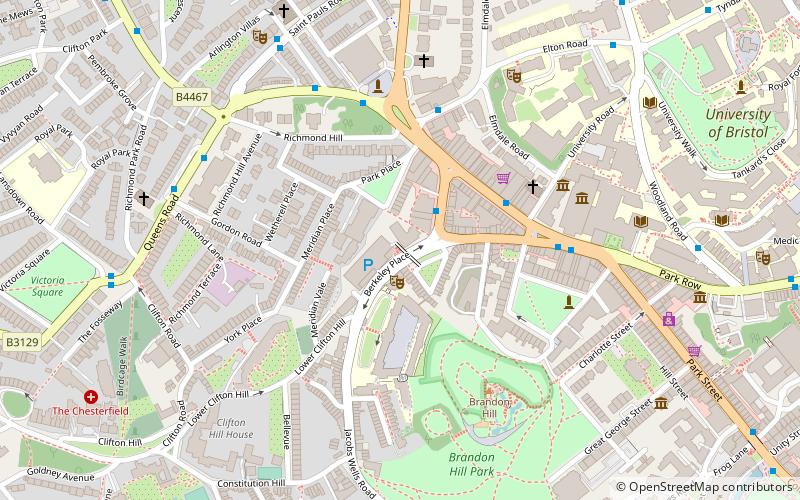
Map

Facts and practical information
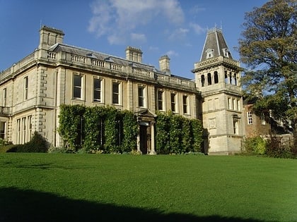
Berkeley Crescent is a late 18th-century crescent of six Georgian houses with a private communal garden. ()
Coordinates: 51°27'21"N, 2°36'32"W
Day trips
Berkeley Crescent – popular in the area (distance from the attraction)
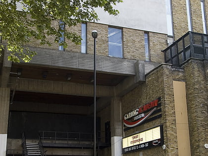
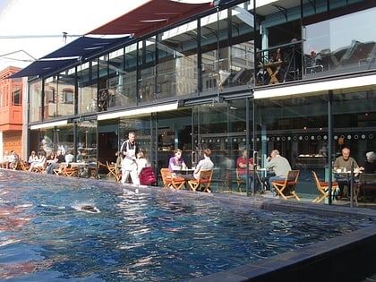
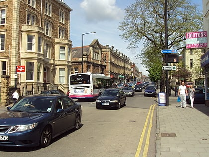
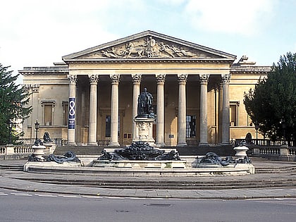
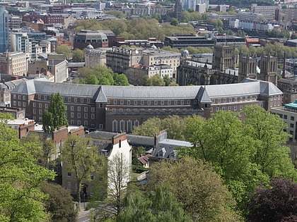
Nearby attractions include: Bristol Museum & Art Gallery, O2 Academy Bristol, Lido, Whiteladies Road.
Frequently Asked Questions (FAQ)
Which popular attractions are close to Berkeley Crescent?
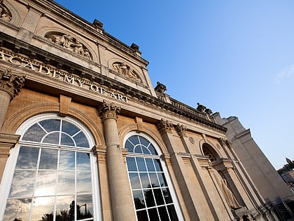
Nearby attractions include University of Bristol Union, Bristol (2 min walk), Winston Theatre, Bristol (2 min walk), Berkeley Square, Bristol (4 min walk), Royal West of England Academy, Bristol (4 min walk).
How to get to Berkeley Crescent by public transport?
The nearest stations to Berkeley Crescent:
Bus
Ferry
Train
Bus
- Queen's Road • Lines: 8, 9 (4 min walk)
- Victoria Rooms • Lines: 8, 9 (4 min walk)
Ferry
- Capricorn Quay (11 min walk)
- Harbour Inlet (13 min walk)
Train
- SS Great Britain (15 min walk)
- Clifton Down (16 min walk)


