Taff Trail, Cardiff
Map

Gallery
Facts and practical information
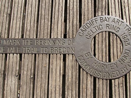
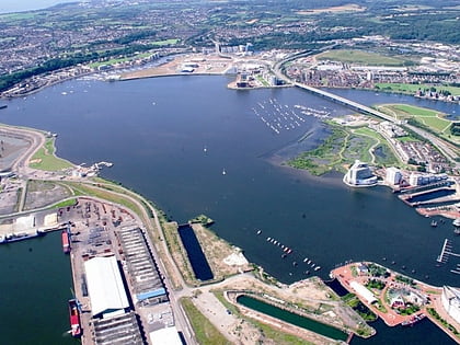
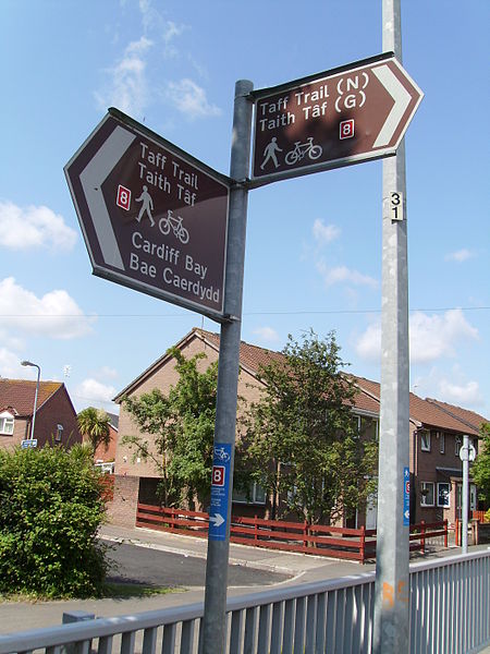
The Taff Trail is a popular walking and cycle path that runs for 55 miles between Cardiff Bay and Brecon in Wales. It is so named because it follows the course of the River Taff. Along much of its length, it follows the National Cycle Network Route 8 that continues to Holyhead, and is substantially off-road. ()
Coordinates: 51°27'48"N, 3°9'51"W
Address
Caerdydd Wouth (Tre-biwt)Cardiff
ContactAdd
Social media
Add
Day trips
Taff Trail – popular in the area (distance from the attraction)
Nearby attractions include: Wales Millennium Centre, Pierhead Building, Norwegian Church Arts Centre, Roald Dahl Plass.
Frequently Asked Questions (FAQ)
Which popular attractions are close to Taff Trail?
Nearby attractions include Pierhead Building, Cardiff (1 min walk), Mermaid Quay, Cardiff (2 min walk), Roald Dahl Plass, Cardiff (2 min walk), Welsh Industrial and Maritime Museum, Cardiff (2 min walk).
How to get to Taff Trail by public transport?
The nearest stations to Taff Trail:
Bus
Train
Bus
- Mermaid Quay • Lines: 8, T1C (3 min walk)
- Millennium Centre • Lines: 304/303, 6, 8 (4 min walk)
Train
- Cardiff Bay (9 min walk)
- Cardiff Central (28 min walk)
