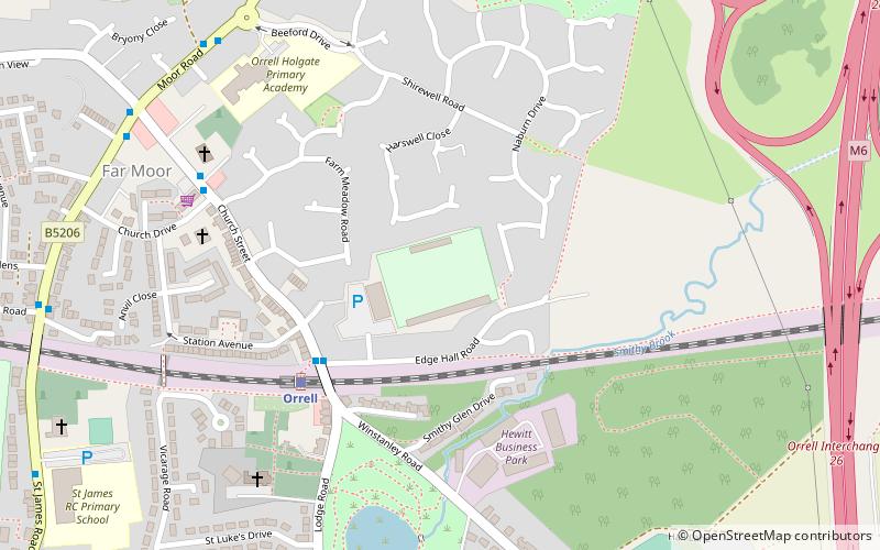
Edge Hall Road
Map

Map

Facts and practical information
The Edge Hall Road Community Stadium is a rugby union community stadium, located in Orrell, Greater Manchester. Originally built as the permanent ground of the local Orrell rugby union team, but the club departed the stadium in 2007, with the development team of Wigan Warriors beginning to use the ground that same year. ()
Opened: 1950 (76 years ago)Capacity: 3000Coordinates: 53°31'53"N, 2°42'23"W
Location
England
ContactAdd
Social media
Add
Day trips
Edge Hall Road – popular in the area (distance from the attraction)
Nearby attractions include: St John the Divine's Church, Church of St Thomas the Martyr, St Luke's Church, Bispham Hall.


