The White Rose Way, Leeds

Facts and practical information
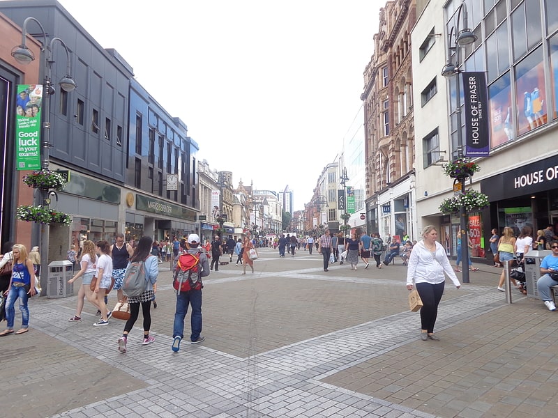
The White Rose Way is a well-loved hiking trail nestled in the vibrant city of Leeds, United Kingdom. This scenic route offers both locals and visitors an opportunity to escape the hustle and bustle of city life and immerse themselves in the tranquility of nature. The trail is named after the emblem of Yorkshire, the white rose, symbolizing the region's rich history and pride.
Spanning a considerable distance, the White Rose Way connects a series of picturesque landscapes, from lush woodlands to open countryside, providing a varied hiking experience. Hikers can enjoy the changing scenery as they traverse through different terrains, each offering unique vistas and challenges.
The path is well-marked and maintained, making it accessible for walkers of all skill levels, from casual strollers to seasoned hikers. Along the way, there are several spots where one can pause to take in the stunning views or enjoy a picnic amidst the greenery.
The White Rose Way is not just a trail for physical activity; it is also a journey through history. Hikers can find historical landmarks and learn about the area's heritage, which adds a layer of depth to the outdoor adventure.
Open throughout the year, the White Rose Way is as beautiful in the spring and summer, when the fields bloom with flowers and wildlife is abundant, as it is in the autumn and winter, when the changing leaves and frosty landscapes create a different kind of allure.
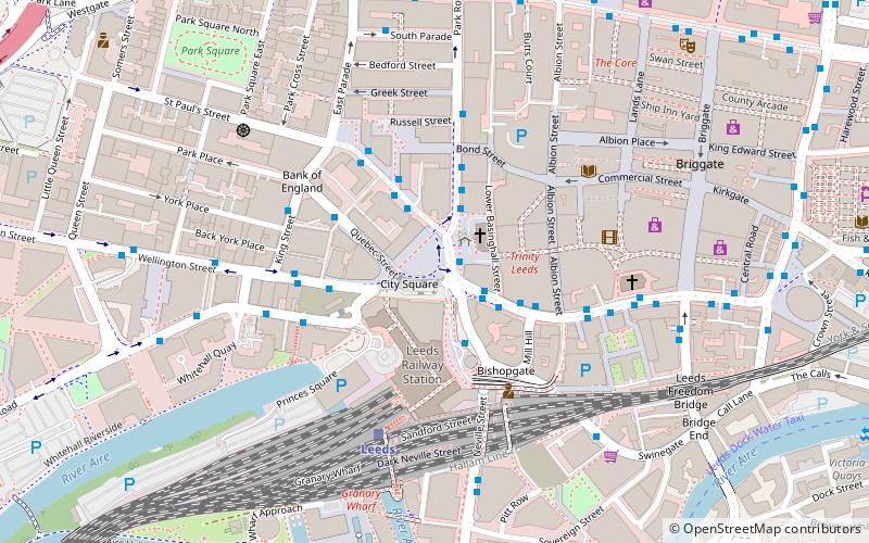
City and Holbeck (Leeds City Centre)Leeds
- Bus
- Train
- Ferry
 Bus
Bus
- Calculate routeCity Square J 1 min walk
- Calculate routeStation C 2 min walk
- Calculate routeCity Square I 2 min walk
- Calculate routeCity Square C 2 min walk
- Calculate routeLeeds 4 min walk
- Calculate routeLeeds Water Taxi Dock 18 min walk


Frequently Asked Questions (FAQ)
Which popular attractions are close to The White Rose Way?
How to get to The White Rose Way by public transport?
Bus
- City Square J • Lines: 4, 4F, A1 (1 min walk)
- Station C • Lines: 4, 4F, 875 (2 min walk)
Train
- Leeds (4 min walk)
Ferry
- Leeds Water Taxi Dock • Lines: Leeds Dock Water Taxi (18 min walk)