Thruxton Karting Circuit
#7516 among destinations in the United Kingdom

Facts and practical information
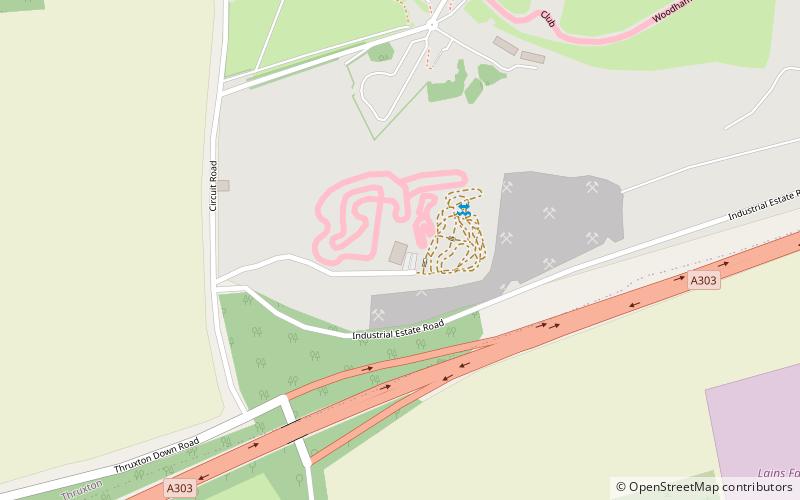
Thruxton Karting Circuit is a kart racing circuit situated at Thruxton Circuit in Hampshire. At 1,100 metres long, the full circuit has a variety of fast, slow and technical corners. ()
EnglandUnited Kingdom
Thruxton Karting Circuit – popular in the area (distance from the attraction)
Nearby attractions include: Museum of Army Flying, Rooksbury Mill, Danebury, Anton Lakes.
 Museum, Children's museum, History museum
Museum of Army Flying
102 min walk • The Museum of Army Flying is a testament to the United Kingdom's rich aviation history, particularly that of the British Army. Nestled in the heart of Hampshire, this museum offers an immersive journey through the development of military aviation from early manned kite...
 Watermill, Lake, Park
Rooksbury Mill, Andover
130 min walk • Rooksbury Mill is an old watermill on the River Anton in Andover, Hampshire, England, and a Grade II listed building. The building and its associated structures are privately owned, but the surrounding land is owned by the Test Valley Borough Council and managed as a local nature reserve.
 Park
ParkDanebury
140 min walk • Danebury is an Iron Age hill fort in Hampshire, England, about 19 kilometres north-west of Winchester. The site, covering 5 hectares, was excavated by Barry Cunliffe in the 1970s.
 Park
ParkAnton Lakes, Andover
140 min walk • Anton Lakes is a 33.1-hectare Local Nature Reserve in Andover in Hampshire. It is owned by Test Valley Borough Council and managed by the council together with The Anton River Conservation Association.
 Forts and castles, Historical place, Ruins
Ludgershall Castle
101 min walk • Ludgershall Castle is a ruined 12th-century fortified royal residence at Ludgershall in Wiltshire, England. Three large walls still remain of the castle, which was turned into a hunting lodge by Henry III but fell into disuse by the 15th century.
 Memorial
Bulford Kiwi, Salisbury
118 min walk • The Bulford Kiwi is a large depiction of a kiwi, carved in the chalk on Beacon Hill above the military town of Bulford on Salisbury Plain in Wiltshire, England.
 Archaeological site, Forts and castles
Sidbury Hill
127 min walk • Sidbury Hill, or Sidbury Camp, is the site of an Iron Age bivallate hillfort on the eastern edge of Salisbury Plain in Wiltshire, England.
 Specialty museum, Museum
Royal Army Chaplains' Museum, Andover
39 min walk • The Royal Army Chaplains' Museum tells the story of British Army chaplaincy from earliest times to the present day, with the help of archive material and historical relics from several centuries.
 Church, Gothic Revival architecture
St Mary's Church, Tidworth
76 min walk • St Mary's Church in South Tidworth, Wiltshire, England, was built in 1878. It is recorded in the National Heritage List for England as a designated Grade I listed building, and is now a redundant church in the care of the Churches Conservation Trust.
 Archaeological site
Bury Hill, Andover
116 min walk • Bury Hill is the site of a former Iron Age hillfort about 1.5 miles southwest of the centre of Andover, Hampshire. The site encloses about 22 acres.
 Archaeological site
Balksbury, Andover
121 min walk • Balksbury is the site of a former Bronze Age hill fort to the southwest of Andover, Hampshire. Originally triangular in shape, most of it has been destroyed by the A303 Andover Bypass, and a large housing development.