Titwood, Glasgow
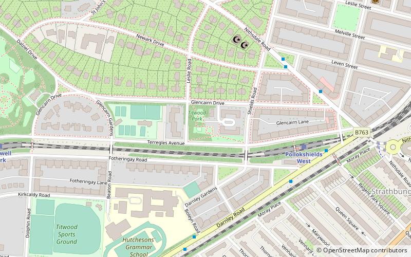
Map
Facts and practical information
Titwood is a cricket ground in the Pollokshields area of Glasgow, Scotland. It is the home of the Clydesdale Cricket Club and is one of four international grounds in Scotland approved by the International Cricket Council as a home venue for the Scotland national cricket team. ()
Coordinates: 55°50'17"N, 4°16'48"W
Address
South Side (Pollokshields West)Glasgow
ContactAdd
Social media
Add
Getting there by public transportation
Public transportation stops near this location
- Metro
- Bus
- Train
 Metro
Metro
- Calculate routePollokshields West 5 min walk
- Calculate routeCrossmyloof 9 min walk
- Calculate routeMaxwell Park 9 min walk
- Calculate routePollokshields East 12 min walk
- Calculate routePollokshaws Road / Marywood Square 9 min walk
- Calculate routeShields Road 22 min walk
- Calculate routeKinning Park 24 min walk
- Calculate routeWest Street 25 min walk
- Calculate routeCessnock 30 min walk
Day trips


Frequently Asked Questions (FAQ)
Which popular attractions are close to Titwood?
Nearby attractions include Pollokshields Burgh Hall, Glasgow (8 min walk), Strathbungo, Glasgow (9 min walk), Pollokshields, Glasgow (9 min walk), Pollokshields Parish Church, Glasgow (10 min walk).
How to get to Titwood by public transport?
The nearest stations to Titwood:
Train
Bus
Metro
Train
- Pollokshields West (5 min walk)
- Crossmyloof (9 min walk)
Bus
- Pollokshaws Road / Marywood Square • Lines: 3, 38, 38A (9 min walk)
Metro
- Shields Road • Lines: Subway (22 min walk)
- Kinning Park • Lines: Subway (24 min walk)