Turnford and Cheshunt Pits, Cheshunt
Map
Gallery
Facts and practical information
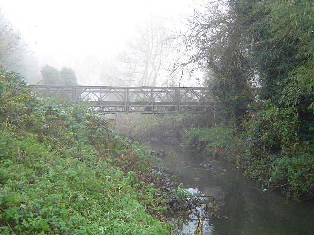
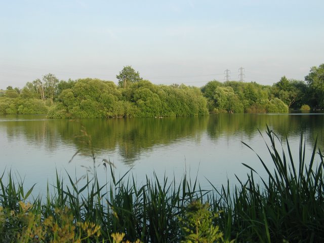
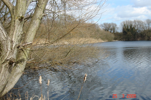
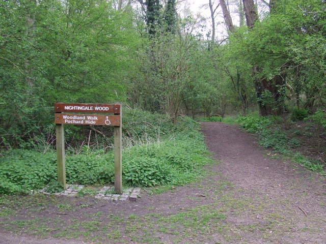
The Turnford and Cheshunt Pits is a biological Site of Special Scientific Interest near Cheshunt in Hertfordshire and Essex and covers a total of 428.17 acres. It is part of the Lee Valley Special Protection Area. ()
Coordinates: 51°42'32"N, 0°0'58"W
Address
Cheshunt
ContactAdd
Social media
Add
Day trips
Turnford and Cheshunt Pits – popular in the area (distance from the attraction)
Nearby attractions include: Cheshunt Park, Lee Valley Park, Royal Gunpowder Mills, Cedars Park.
Frequently Asked Questions (FAQ)
Which popular attractions are close to Turnford and Cheshunt Pits?
Nearby attractions include Fishers Green, Cheshunt (10 min walk), River Lee Country Park, Waltham Abbey SSSI (15 min walk), Waltham Common Lock, Cheshunt (19 min walk), Lee Valley Park, Cheshunt (21 min walk).
How to get to Turnford and Cheshunt Pits by public transport?
The nearest stations to Turnford and Cheshunt Pits:
Train
Bus
Train
- Cheshunt (14 min walk)
- Theobalds Grove (37 min walk)
Bus
- Fishers Green • Lines: 86 (17 min walk)
- Hayes Hill Farm • Lines: 86 (17 min walk)


