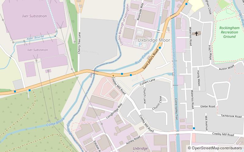
Uxbridge Moor, London

Gallery (1)
Map
Map
Facts and practical information
Uxbridge Moor is a nature reserve managed by the London Wildlife Trust in Uxbridge in the London Borough of Hillingdon. It is a Site of Metropolitan Importance for Nature Conservation. ()
Coordinates: 51°32'27"N, 0°29'30"W
Address
Hillingdon (Uxbridge South)London
ContactAdd
Social media
Add
Getting there by public transportation
Public transportation stops near this location
- Metro
- Bus
 Metro
Metro
- Calculate routeCowley Mill Road / St John's Road 1 min walk
- Calculate routeRiverside Way 4 min walk
- Calculate routeSlough Road 8 min walk
- Calculate routeRockingham Road 8 min walk
- Calculate routeUxbridge 19 min walk
Maps Tube
Tube
TubeDay trips


Frequently Asked Questions (FAQ)
How to get to Uxbridge Moor by public transport?
The nearest stations to Uxbridge Moor:
Bus
Metro
Bus
- Cowley Mill Road / St John's Road • Lines: 3 (1 min walk)
- Riverside Way • Lines: 3 (4 min walk)
Metro
- Uxbridge • Lines: Metropolitan, Piccadilly (19 min walk)