The Queen's Foundation, Birmingham

Gallery (1)
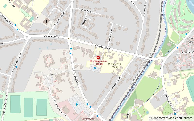
Map
Map
Facts and practical information
The Queen's Foundation for Ecumenical Theological Education is an ecumenical theological college which, with the West Midlands Ministerial Training Course, forms the Centre for Ministerial Formation of the Queen's Foundation for Ecumenical Theological Education. It serves the Church of England and the Methodist Church, and its courses thus have a strong ecumenical emphasis. ()
Established: 1828 (198 years ago)Coordinates: 52°27'27"N, 1°55'59"W
Getting there by public transportation
Public transportation stops near this location
- Bus
- Train
 Bus
Bus
- Calculate routeUniversity 12 min walk
- Calculate routeSelly Oak 28 min walk
- Calculate routeFive Ways 33 min walk
- Calculate routeBristol Rd / Bournbrook Rd 19 min walk
Day trips
The Queen's Foundation – popular in the area (distance from the attraction)
Nearby attractions include: Birmingham Botanical Gardens, Lapworth Museum of Geology, Winterbourne Botanic Garden, Barber Institute of Fine Arts.


Frequently Asked Questions (FAQ)
Which popular attractions are close to The Queen's Foundation?
Nearby attractions include Winterbourne Botanic Garden, Birmingham (14 min walk), Barber Institute of Fine Arts, Birmingham (14 min walk), Edgbaston Pool, Birmingham (14 min walk), Joseph Chamberlain Memorial Clock Tower, Birmingham (14 min walk).
How to get to The Queen's Foundation by public transport?
The nearest stations to The Queen's Foundation:
Train
Bus
Train
- University (12 min walk)
- Selly Oak (28 min walk)
Bus
- Bristol Rd / Bournbrook Rd • Lines: 63 (19 min walk)