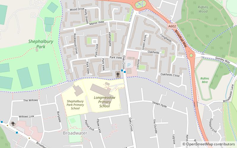
Longmeadow Evangelical Church, Stevenage
Map

Map

Facts and practical information
Longmeadow Evangelical Church (address: Oaks Cross) is a place located in Stevenage (England kingdom) and belongs to the category of church.
It is situated at an altitude of 322 feet, and its geographical coordinates are 51°53'3"N latitude and 0°10'19"W longitude.
Among other places and attractions worth visiting in the area are: Ridlins Mire (area, 7 min walk), Broadhall Way (sport venue, 31 min walk), St Martin's Church, Knebworth (church, 35 min walk).
Architectural style: ModernCoordinates: 51°53'3"N, 0°10'19"W
Day trips
Longmeadow Evangelical Church – popular in the area (distance from the attraction)
Nearby attractions include: Knebworth House, Benington Castle, Minsden Chapel, St. Mary's.


