Portman Road, Ipswich
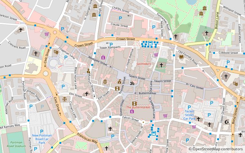
Map
Gallery
Facts and practical information
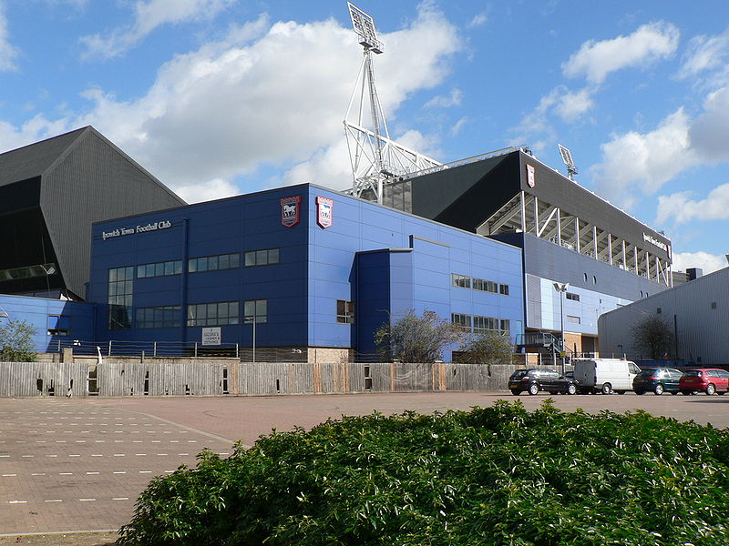
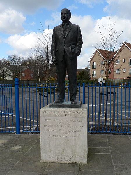
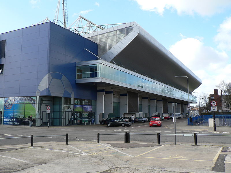
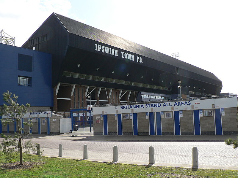
Portman Road is a football stadium in Ipswich, Suffolk, England, which has been the home ground of Ipswich Town F.C. since 1884. The stadium has also hosted many England youth international matches, and one senior England friendly international match, against Croatia in 2003. It staged several other sporting events, including athletics meetings and international hockey matches, musical concerts and Christian events. ()
Alternative names: Opened: 1884 (142 years ago)Capacity: 30.3 thous.Coordinates: 52°3'18"N, 1°8'43"E
Address
Portman RoadSouth West Ipswich (Gipping)Ipswich IP1 2DA
Contact
+44 1473 400500
Social media
Add
Day trips
Portman Road – popular in the area (distance from the attraction)
Nearby attractions include: Sailmakers Shopping Centre, Buttermarket Centre, The Cornhill, St Pancras Church.
Frequently Asked Questions (FAQ)
Which popular attractions are close to Portman Road?
Nearby attractions include Ipswich Village Development, Ipswich (2 min walk), Alderman Canal East, Ipswich (5 min walk), Alderman Canal West, Ipswich (6 min walk), Sir Bobby Robson Bridge, Ipswich (6 min walk).
How to get to Portman Road by public transport?
The nearest stations to Portman Road:
Bus
Train
Bus
- St Clare House • Lines: 12, 13, 15, 15A, 3, 3E, 66, 66A, 800, 92, 93, 93A, X7 (3 min walk)
- Fire Station • Lines: 12, 13, 15A, 3, 3E, 66, 66A, 800, 92, 93, 93A, X7 (4 min walk)
Train
- Ipswich (8 min walk)


