Harrold-Odell Country Park
Map

Map

Facts and practical information
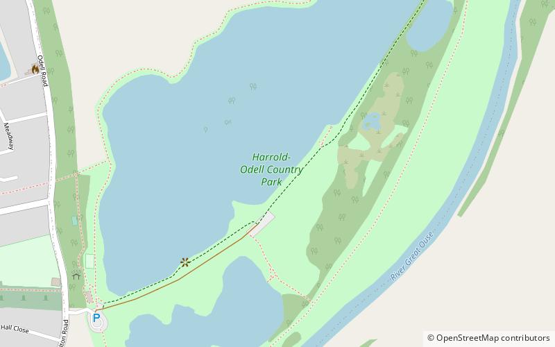
The Harrold-Odell Country Park is a 59.3 hectare Country park and Local Nature Reserve between the villages of Odell and Harrold in Bedfordshire. It is owned and managed by Bedford Borough Council, and it has a cafe, toilets and an information room. ()
Elevation: 138 ft a.s.l.Coordinates: 52°12'10"N, 0°35'46"W
Day trips
Harrold-Odell Country Park – popular in the area (distance from the attraction)
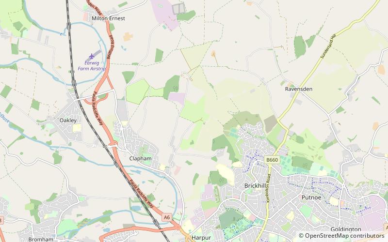
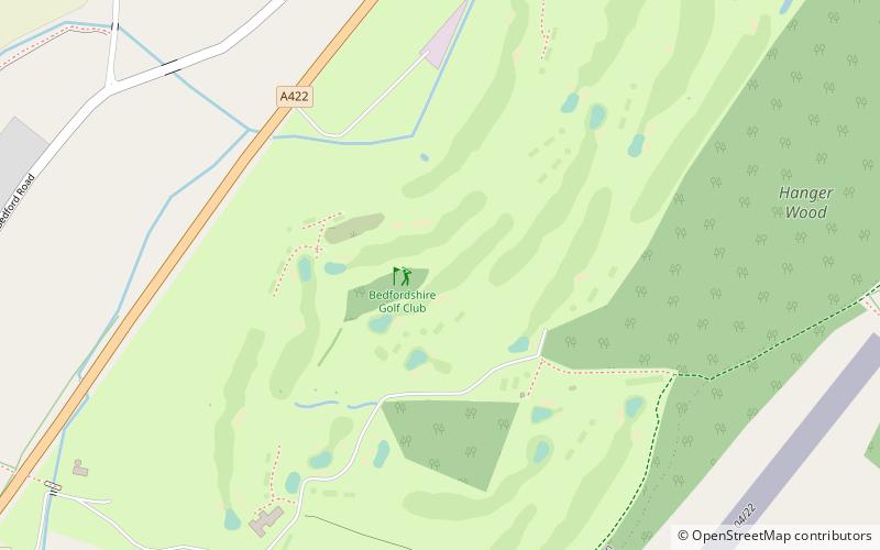
Nearby attractions include: Santa Pod Raceway, Bedford & County Golf Club, Cowper and Newton Museum, Bedfordshire Golf Club.


