Outwoods
Map

Map

Facts and practical information
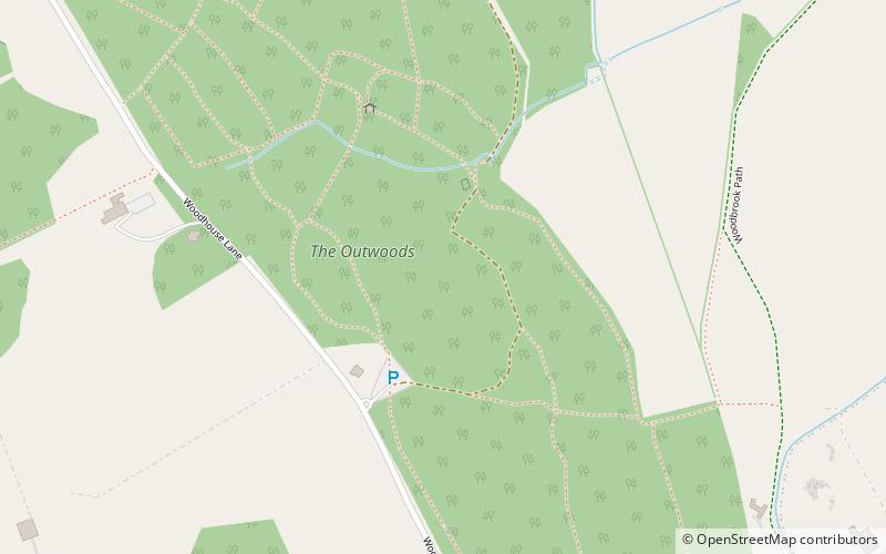
The Outwoods is a 40 hectares ancient wood and visitor attraction overlooking Loughborough and the Soar Valley in Leicestershire, England. It has rare rock outcrops, many species of woodland plants and substantial wildlife, and it is part of Beacon Hill, Hangingstone and Outwoods Site of Special Scientific Interest. Situated within Charnwood Forest the Outwoods stands on some of the oldest exposed rocks in Britain, being formed in the Precambrian era. ()
Elevation: 463 ft a.s.l.Coordinates: 52°44'24"N, 1°14'16"W
Location
England
ContactAdd
Social media
Add
Day trips
Outwoods – popular in the area (distance from the attraction)
Nearby attractions include: Beacon Hill, John Taylor & Co, Charnwood Forest, Swithland Wood and The Brand.


