Aston Junction, Birmingham
Map

Map

Facts and practical information
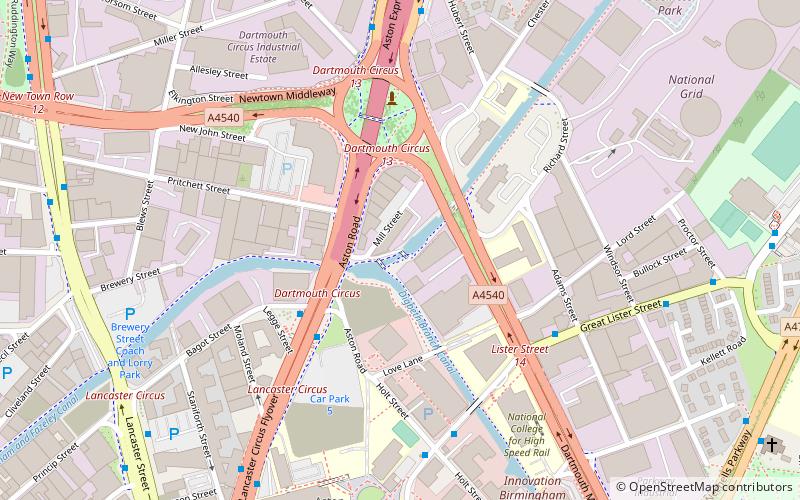
Aston Junction is the name of the canal junction where the Digbeth Branch Canal terminates and meets the Birmingham and Fazeley Canal near to Aston, Birmingham, England. ()
Coordinates: 52°29'26"N, 1°53'17"W
Day trips
Aston Junction – popular in the area (distance from the attraction)
Nearby attractions include: Corporation Street, Great Western Arcade, Oasis, Thinktank.
Frequently Asked Questions (FAQ)
Which popular attractions are close to Aston Junction?
Nearby attractions include Digbeth Branch Canal, Birmingham (1 min walk), Blowing engine, Birmingham (4 min walk), Woodcock Street Baths, Birmingham (6 min walk), St Stephen the Martyr's Church, Birmingham (12 min walk).
How to get to Aston Junction by public transport?
The nearest stations to Aston Junction:
Bus
Tram
Train
Bus
- Cr1 • Lines: X14 (7 min walk)
- Sl1 • Lines: 7 (16 min walk)
Tram
- St Chads • Lines: 1 (17 min walk)
- Bull Street • Lines: 1 (18 min walk)
Train
- Birmingham Snow Hill (18 min walk)
- Duddeston (19 min walk)


