Luton Town Hall, Luton
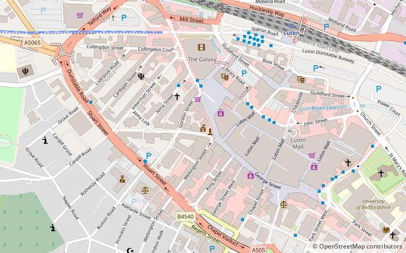
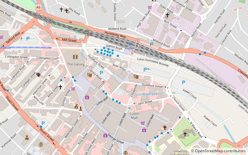
Map

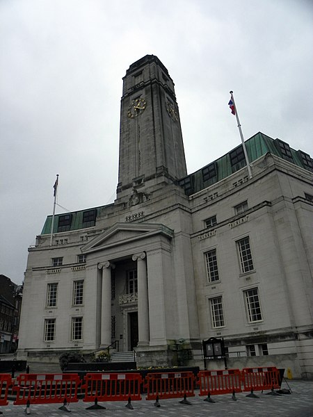
Gallery

Facts and practical information
Luton Town Hall is a building at the junction between Manchester Street, Upper George Street and George Street, Luton, England; the current building was completed in 1936 on the site of the older Town Hall, which was burnt down 19 July 1919, following the Peace Day Riots. The current hall is a Grade II listed building. ()
Built: 1936 (90 years ago)Coordinates: 51°52'48"N, 0°25'4"W
Day trips
Luton Town Hall – popular in the area (distance from the attraction)
Nearby attractions include: Kenilworth Road, The Mall, Wardown Park, St Mary's Church.
Frequently Asked Questions (FAQ)
Which popular attractions are close to Luton Town Hall?
Nearby attractions include The Hat Factory, Luton (5 min walk), Our Lady Help of Christians Church, Luton (8 min walk), University of Bedfordshire, Luton (9 min walk), St Mary's Church, Luton (9 min walk).
How to get to Luton Town Hall by public transport?
The nearest stations to Luton Town Hall:
Bus
Train
Bus
- Luton Station • Lines: 610, 612 (5 min walk)
- Luton Station Interchange • Lines: 737 (5 min walk)
Train
- Luton (7 min walk)
- Luton Airport Parkway (27 min walk)


