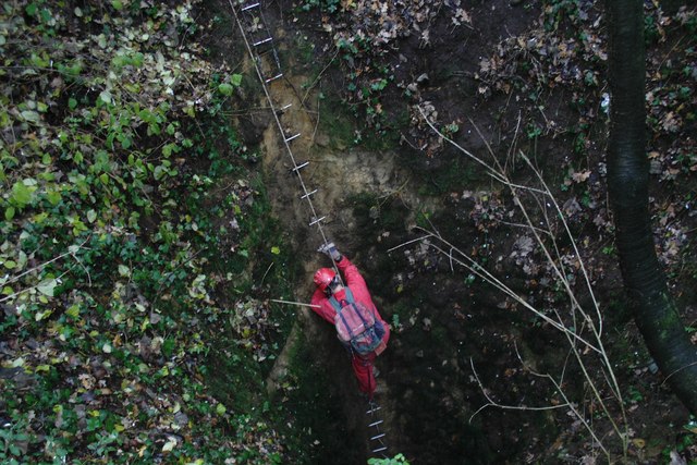
Hangman's Wood, Grays

Gallery (2)
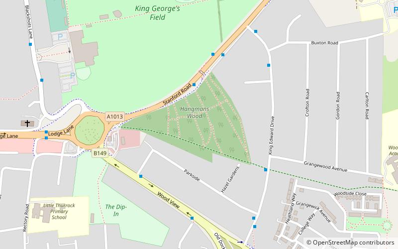
Map
Map
Gallery
Facts and practical information
Hangman's Wood and Deneholes is a 3 hectare biological Site of Special Scientific Interest in Little Thurrock in Essex. The deneholes, which were created by medieval chalk mining, are a Scheduled Monument. ()
Coordinates: 51°29'22"N, 0°20'52"E
Getting there by public transportation
Public transportation stops near this location
- Bus
- Train
 Bus
Bus
- Calculate routeStanford Road 3 min walk
- Calculate routeParkside 4 min walk
- Calculate routeGrangewood Avenue 4 min walk
- Calculate routeBuxton Road 5 min walk
- Calculate routeGrays 37 min walk
Day trips


Frequently Asked Questions (FAQ)
How to get to Hangman's Wood by public transport?
The nearest stations to Hangman's Wood:
Bus
Train
Bus
- Stanford Road • Lines: 100, 5A, 5B (3 min walk)
- Parkside • Lines: 11, 374, 73, 73A, 77, 77A, 83, Z1 (4 min walk)
Train
- Grays (37 min walk)