The Priest's House
Map

Map

Facts and practical information
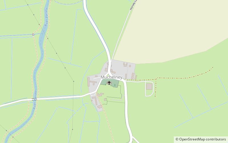
The Priest's House is a National Trust-owned property in Muchelney, in the English county of Somerset. It has been designated as a grade II listed building. The house was built in the early 14th century by the nearby Muchelney Abbey to house the parish priest. ()
Coordinates: 51°1'16"N, 2°48'55"W
Day trips
The Priest's House – popular in the area (distance from the attraction)
Nearby attractions include: Church of St Peter and St Paul, Church of All Saints, The Hanging Chapel, Church of the Blessed Virgin Mary.


