The Scoop, London
Map
Map

Facts and practical information
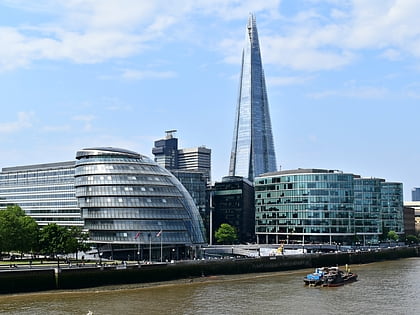
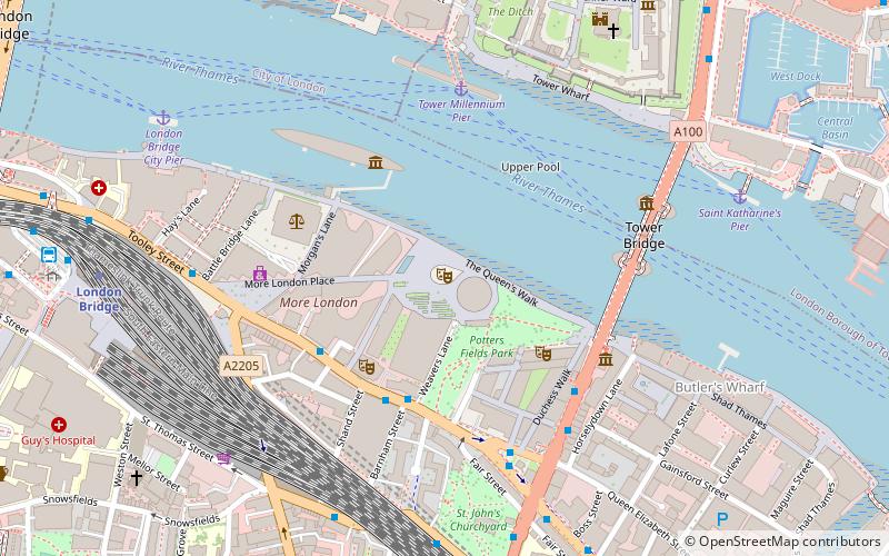
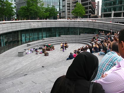
The Scoop is an outdoor amphitheatre situated on the south side of the River Thames near Tower Bridge in London, located next to City Hall, providing seating for approximately 800 people. Designed by Townshend Landscape Architects, it is a venue used during the summer to show films, musical performances and theatre productions by such companies as The Steam Industry and The Pantaloons. In June 2008, films shown at The Scoop included The Dam Busters, Atonement and Withnail and I. The Scoop has been used as a performance venue since 2002. ()
Coordinates: 51°30'18"N, 0°4'45"W
Day trips
The Scoop – popular in the area (distance from the attraction)
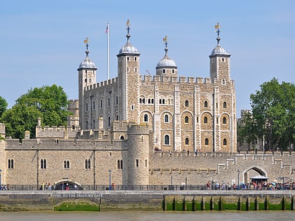
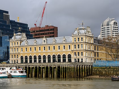
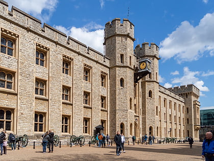
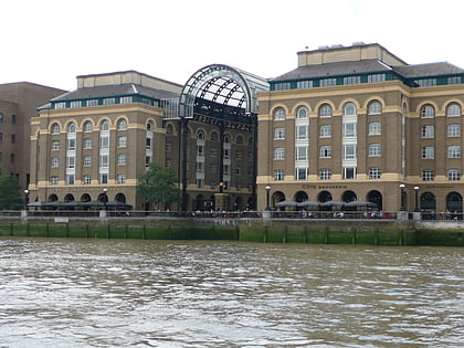
Nearby attractions include: Tower of London, Tower Bridge, City Hall, Old Billingsgate Market.
Frequently Asked Questions (FAQ)
Which popular attractions are close to The Scoop?
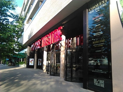
Nearby attractions include City Hall, London (1 min walk), Potters Fields Park, London (2 min walk), Unicorn Theatre, London (3 min walk), Bridge Theatre, London (3 min walk).
How to get to The Scoop by public transport?
The nearest stations to The Scoop:
Ferry
Bus
Metro
Train
Light rail
Ferry
- Tower Millennium Pier • Lines: Rb1, Rb1X, Rb2, Red Tour (5 min walk)
- Saint Katharine's Pier • Lines: Blue Tour, Green Tour (7 min walk)
Bus
- Druid Street • Lines: 42 (7 min walk)
- London Bridge Station • Lines: 343, 381, 388, 47, N199, N381 (9 min walk)
Metro
- London Bridge • Lines: Jubilee, Northern (9 min walk)
- Tower Hill • Lines: Circle, District (9 min walk)
Train
- London Fenchurch Street (12 min walk)
- London Cannon Street (16 min walk)
Light rail
- Tower Gateway Platform 1 • Lines: Tg-B (12 min walk)
- Bank Platform 9 • Lines: B-L, B-Wa (15 min walk)
 Tube
Tube