Central Baptist Church, Southampton
Map
Facts and practical information
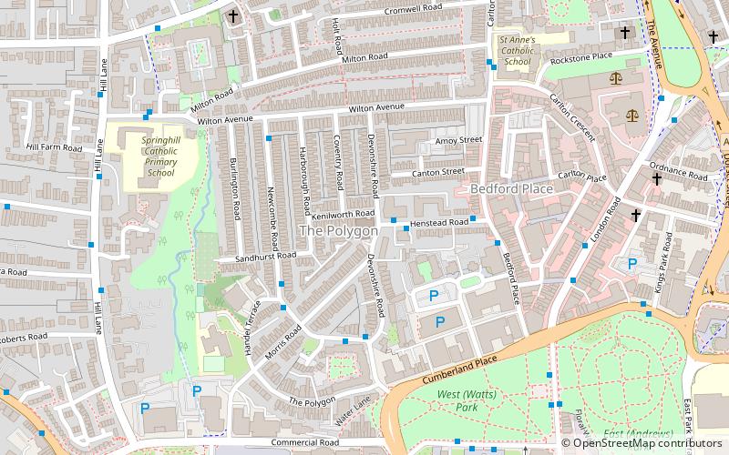
Southampton Central Baptist Church is a Baptist church located in the Polygon area of Southampton, Hampshire. The building in which the church meets is a Grade II listed building. ()
Coordinates: 50°54'44"N, 1°24'33"W
Address
Devonshire RdSouthampton Itchen (Bargate)Southampton SO15 2GY
Contact
+44 23 8022 5473
Social media
Add
Getting there by public transportation
Public transportation stops near this location
- Bus
- Train
 Bus
Bus
- Calculate routeGiddy Bridge 6 min walk
- Calculate routeArt Gallery 7 min walk
- Calculate routeMayflower Halls 7 min walk
- Calculate routeCenotaph 7 min walk
- Calculate routeSouthampton Central 10 min walk
- Calculate routeMillbrook 28 min walk
- Calculate routeSt Denys 30 min walk
Day trips


Frequently Asked Questions (FAQ)
Which popular attractions are close to Central Baptist Church?
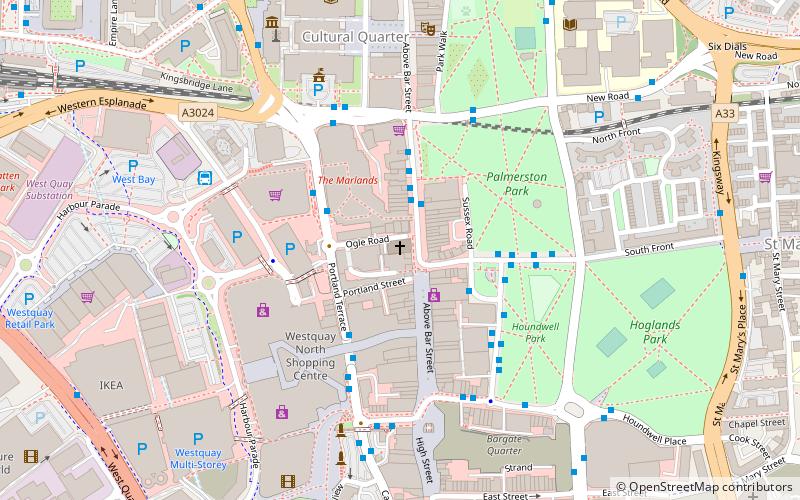
Nearby attractions include The Polygon, Southampton (1 min walk), Titanic Musicians' Memorial, Southampton (6 min walk), Watts Park, Southampton (6 min walk), Mayflower Theatre, Southampton (7 min walk).
How to get to Central Baptist Church by public transport?
The nearest stations to Central Baptist Church:
Bus
Train
Bus
- Giddy Bridge • Lines: U1A, U2, U2B, U2C (6 min walk)
- Art Gallery • Lines: U2, U2B (7 min walk)
Train
- Southampton Central (10 min walk)
- Millbrook (28 min walk)