St Mary Magdalene Gardens, London
Map
Map

Facts and practical information
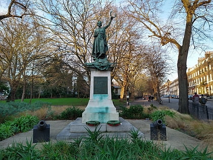
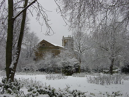
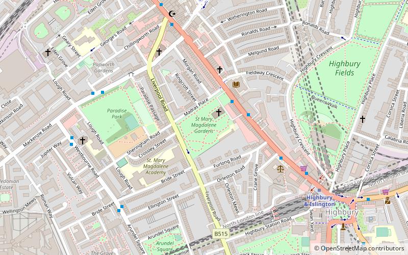
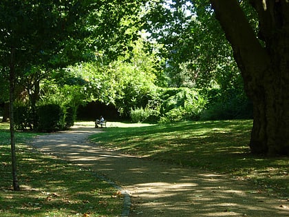
St Mary Magdalene Gardens is a public open space located between Holloway Road and Liverpool Road in Islington, north London. It is located on the old burial ground of St Mary Magdalene Church. ()
Created: 1894Elevation: 128 ft a.s.l.Coordinates: 51°32'53"N, 0°6'31"W
Day trips
St Mary Magdalene Gardens – popular in the area (distance from the attraction)
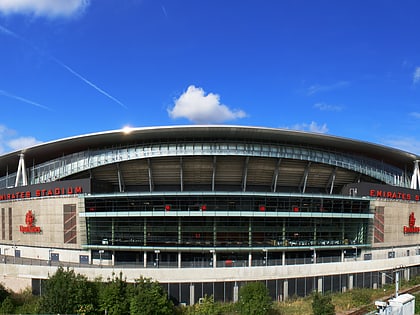
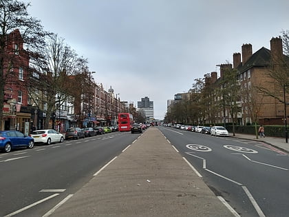
Nearby attractions include: Emirates Stadium, Upper Street, Arsenal Museum, Holloway Road.
Frequently Asked Questions (FAQ)
Which popular attractions are close to St Mary Magdalene Gardens?
Nearby attractions include The Hope, London (2 min walk), The Garage, London (6 min walk), Centre for Recent Drawing, London (6 min walk), 12 Bar Club, London (7 min walk).
How to get to St Mary Magdalene Gardens by public transport?
The nearest stations to St Mary Magdalene Gardens:
Bus
Metro
Train
Bus
- St Mary Magdalene Church • Lines: 263, 271, 393, 43, N41 (2 min walk)
- Highbury Corner • Lines: 19, 263, 271, 30, 393, 4, 43, N19, N277, N41 (8 min walk)
Metro
- Highbury & Islington • Lines: Victoria (6 min walk)
- Holloway Road • Lines: Piccadilly (10 min walk)
Train
- Drayton Park (10 min walk)
- Caledonian Road & Barnsbury (11 min walk)
 Tube
Tube