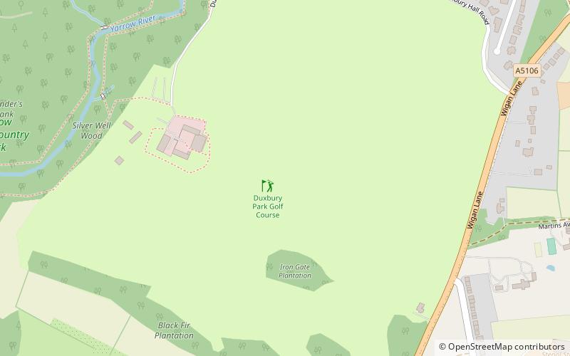
Duxbury Woods, Chorley
Map

Map

Facts and practical information
Duxbury Woods is an area of woodland and parkland situated in Chorley, Lancashire, at the foot of the West Pennine Moors. The area originally existed as a township with the council meeting at the Yarrow Bridge pub; this was absorbed into Chorley Rural District in the early 20th century. ()
Coordinates: 53°37'49"N, 2°37'20"W
Day trips
Duxbury Woods – popular in the area (distance from the attraction)
Nearby attractions include: St Paul's Church, Yarrow Valley Country Park, Yarrow Bridge, Christ Church.
Frequently Asked Questions (FAQ)
Which popular attractions are close to Duxbury Woods?
Nearby attractions include Yarrow Valley Park, Chorley (15 min walk), Yarrow Bridge, Chorley (19 min walk).
How to get to Duxbury Woods by public transport?
The nearest stations to Duxbury Woods:
Bus
Bus
- Marley Court • Lines: 125 (11 min walk)
- Wigan Lane • Lines: 125 (11 min walk)


