Victoria Park, Bere Ferrers
Map

Map

Facts and practical information
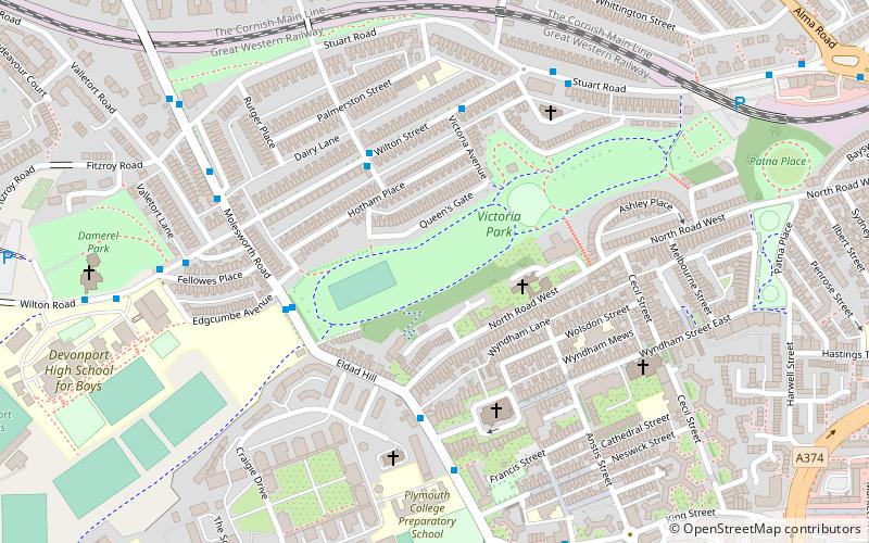
Victoria Park is a park in Millbridge, Plymouth, England. It extends at the eastern end from the bowling green beneath what was once a railway viaduct to what is now the merging of Molesworth Road and Eldad Hill, and which once was a toll bridge, and an important thoroughfare between Devonport and Plymouth. ()
Elevation: 20 ft a.s.l.Coordinates: 50°22'30"N, 4°9'20"W
Address
St. Peter and the WaterfrontBere Ferrers
ContactAdd
Social media
Add
Day trips
Victoria Park – popular in the area (distance from the attraction)
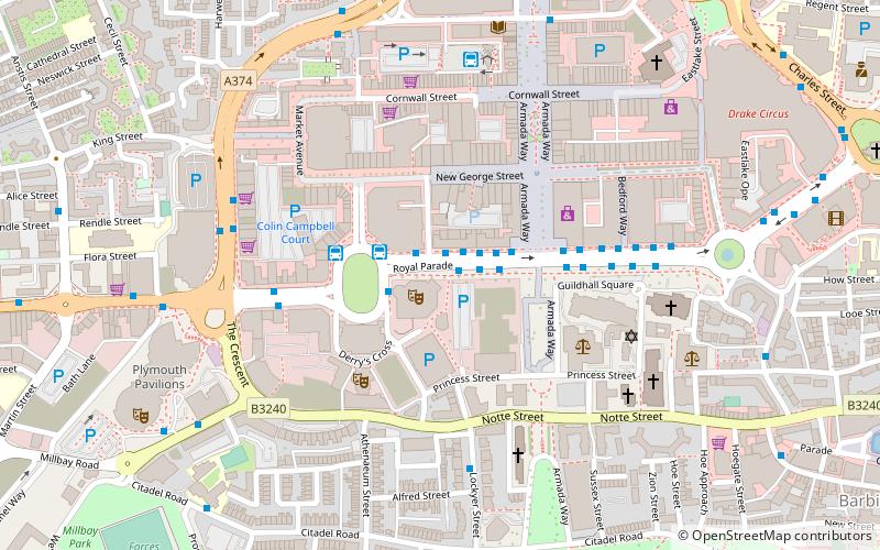
Nearby attractions include: Drake Circus, Plymouth Pavilions, Armada Centre, Armada Memorial.
Frequently Asked Questions (FAQ)
Which popular attractions are close to Victoria Park?
Nearby attractions include St Dunstan's Abbey, Bere Ferrers (3 min walk), St Peter & the Holy Apostles, Bere Ferrers (4 min walk), Plymouth Cathedral, Bere Ferrers (6 min walk), Cornwall Railway viaducts, Bere Ferrers (8 min walk).
How to get to Victoria Park by public transport?
The nearest stations to Victoria Park:
Bus
Train
Bus
- Pennycomequick • Lines: 11 (10 min walk)
- Western Approach • Lines: 11, 44, 8, 9, X11 (11 min walk)
Train
- Plymouth (15 min walk)
- Devonport (18 min walk)


