Swansea docks, Swansea
Map
Map

Facts and practical information
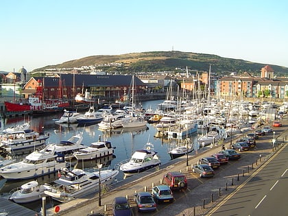
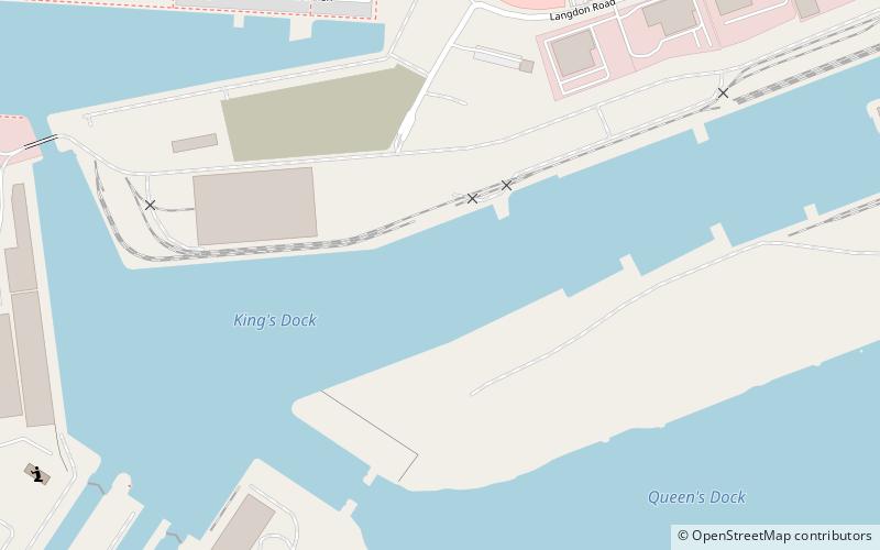
Swansea Docks is the collective name for several docks in Swansea, Wales. The Swansea docks are located immediately south-east of Swansea city centre. In the mid-19th century, the port was exporting 60% of the world's copper from factories situated in the Tawe Valley. The working docks area today is owned and operated by Associated British Ports as the Port of Swansea and the northern part around the Prince of Wales Dock is undergoing re-development into a new urban area branded the SA1 Swansea Waterfront. ()
Coordinates: 51°36'59"N, 3°54'57"W
Address
Saint ThomasSwansea
ContactAdd
Social media
Add
Day trips
Swansea docks – popular in the area (distance from the attraction)
Nearby attractions include: Dylan Thomas Centre, Plantasia, Swansea Castle, National Waterfront Museum.
Frequently Asked Questions (FAQ)
Which popular attractions are close to Swansea docks?
Nearby attractions include Norwegian Church, Swansea (8 min walk), Limitless Trampoline Park Swansea, Swansea (14 min walk), Dylan Thomas Centre, Swansea (23 min walk), Kilvey Hill, Swansea (23 min walk).
How to get to Swansea docks by public transport?
The nearest stations to Swansea docks:
Bus
Train
Bus
- Union Inn • Lines: 10, 8 (9 min walk)
- Charles Thomas House • Lines: 6 (9 min walk)
Train
- Swansea (32 min walk)


