Sutton Hall, Runcorn
Map

Map

Facts and practical information
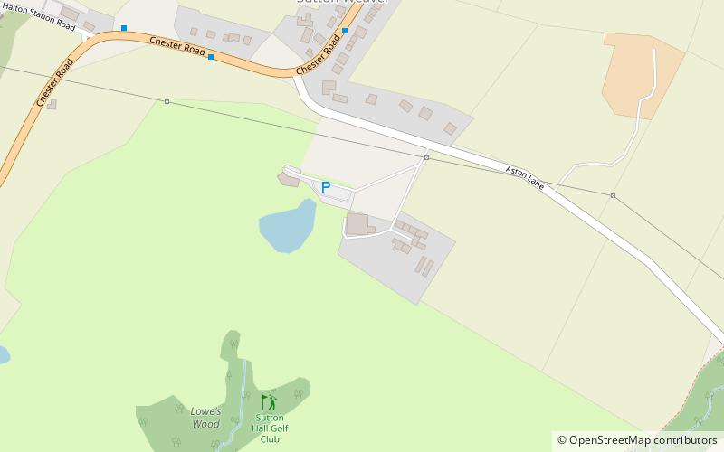
Sutton Hall is a historic farmhouse, south of the village of Sutton Weaver in Cheshire, England. It is recorded in the National Heritage List for England as a designated Grade I listed building. ()
Coordinates: 53°18'26"N, 2°41'5"W
Day trips
Sutton Hall – popular in the area (distance from the attraction)
Nearby attractions include: Runcorn Shopping City, Norton Priory, Halton Castle, St Laurence's Church.
Frequently Asked Questions (FAQ)
How to get to Sutton Hall by public transport?
The nearest stations to Sutton Hall:
Bus
Bus
- Wood Lane • Lines: 2 (14 min walk)
- Clifton Road • Lines: 2 (15 min walk)


