Murtry Aqueduct
Map
![Murtry Aqueduct location map](https://tzmedia.b-cdn.net/media/images/static-maps/gb/51_2467_-2_34191.jpg)
Map
![Murtry Aqueduct location map](https://tzmedia.b-cdn.net/media/images/static-maps/gb/51_2467_-2_34191.jpg)
Facts and practical information
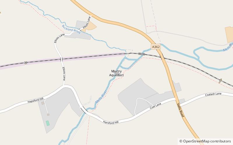
Murtry Aqueduct is a three-arched aqueduct that was intended to carry the Dorset and Somerset Canal over the Mells River, near Frome in Somerset, England. It is a grade II listed building. ()
Coordinates: 51°14'48"N, 2°20'31"W
Location
England
ContactAdd
Social media
Add
Day trips
Murtry Aqueduct – popular in the area (distance from the attraction)
Nearby attractions include: Church of St John the Baptist, Frome Museum, Rook Lane Chapel, Orchardleigh House.