Lark Lane, Liverpool
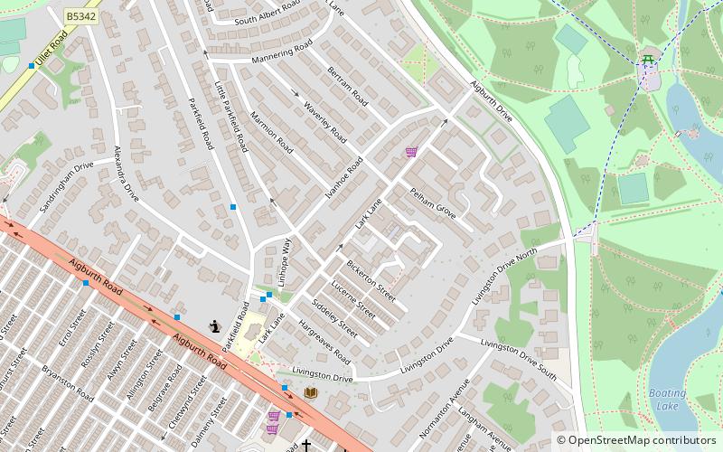
Map

Gallery

Facts and practical information
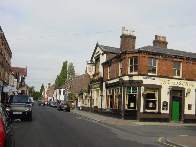
Lark Lane is a street in Liverpool, England, noted for its cafés, bars, boutiques, music venues and bistros and has a bohemian reputation. Its proximity to student residences, open green space and the variety of bars and restaurants makes it a popular venue as an alternative to the city centre. ()
Coordinates: 53°22'52"N, 2°56'46"W
Day trips
Lark Lane – popular in the area (distance from the attraction)
Nearby attractions include: Sefton Park, Sudley House, Prince's Park, Granby Four Streets.
Frequently Asked Questions (FAQ)
Which popular attractions are close to Lark Lane?
Nearby attractions include Christ Church, Liverpool (8 min walk), Sefton Park, Liverpool (9 min walk), St Michael's Church, Liverpool (9 min walk), Grade I listed churches in Merseyside, Liverpool (9 min walk).
How to get to Lark Lane by public transport?
The nearest stations to Lark Lane:
Train
Train
- St Michaels (12 min walk)
- Aigburth (36 min walk)


